80120 postal code
United StatesUpdated 2026-11-09Littleton, ColoradoArapahoe5 digits
Postal code details
1 placeCode
80120
Place
Littleton
Region
Colorado
County
Arapahoe
Coordinates
39.5994, -105.0044
Accuracy
4 / 6
Country
United States
Location
OpenStreetMap ↗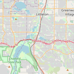

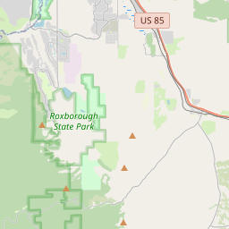

39.5994, -105.0044© OpenStreetMap
Ad slot · 300×250
Places under this code
1| Place | Region | County | Coordinates |
|---|---|---|---|
| Littleton | Colorado | Arapahoe | 39.5994, -105.0044 |
Same code in other countries
6| Country | Place | Region |
|---|---|---|
| FR France | Argoules | Hauts-de-France |
| KE Kenya | Samburu | Kwale |
| LK Sri Lanka | Wanchawela | Southern Province |
| MX Mexico | Industrial Bravo | Sinaloa |
| PL Poland | Gdańsk | Pomerania |
| TH Thailand | Sichon | Nakhon Si Thammarat |
FAQ
Which city is 80120 in?
Littleton, Colorado, United States.
What are the coordinates of 80120?
39.5994, -105.0044
Is 80120 used in other countries?
Yes, 6 other countries.
Updated 2026-11-09. Attribution in Data & license.