20437 postal code
United StatesUpdated 2026-11-09Washington, District of ColumbiaDistrict of Columbia5 digits
Postal code details
1 placeCode
20437
Place
Washington
Region
District of Columbia
County
District of Columbia
Coordinates
38.9028, -77.0485
Accuracy
4 / 6
Country
United States
Location
OpenStreetMap ↗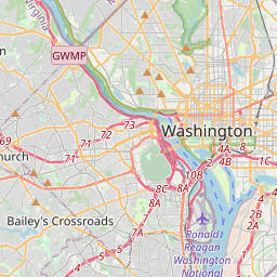

38.9028, -77.0485© OpenStreetMap
Ad slot · 300×250
Places under this code
1| Place | Region | County | Coordinates |
|---|---|---|---|
| Washington | District of Columbia | District of Columbia | 38.9028, -77.0485 |
Same code in other countries
3| Country | Place | Region |
|---|---|---|
| MX Mexico | Constitución | Aguascalientes |
| PL Poland | Lublin | Lublin |
| UA Ukraine | Шалаське | Cherkaska |
FAQ
Which city is 20437 in?
Washington, District of Columbia, United States.
What are the coordinates of 20437?
38.9028, -77.0485
Is 20437 used in other countries?
Yes, 3 other countries.
Updated 2026-11-09. Attribution in Data & license.