48171 postal code
UkraineUpdated 2026-11-09Воля (Микулинецька селищна рада), TernopilskaTerebovlianskyi5 digits
Postal code details
1 placeCode
48171
Place
Воля (Микулинецька селищна рада)
Region
Ternopilska
County
Terebovlianskyi
Coordinates
49.6419, 26.8203
Accuracy
1 / 6
Country
Ukraine
Location
OpenStreetMap ↗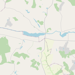
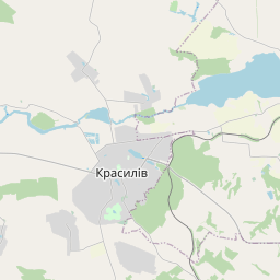
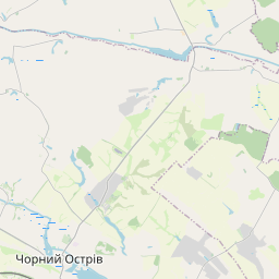
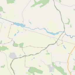
49.6419, 26.8203© OpenStreetMap
Ad slot · 300×250
Places under this code
1| Place | Region | County | Coordinates |
|---|---|---|---|
| Воля (Микулинецька селищна рада) | Ternopilska | Terebovlianskyi | 49.6419, 26.8203 |
Same code in other countries
0This code only appears in this country.
FAQ
Which city is 48171 in?
Воля (Микулинецька селищна рада), Ternopilska, Ukraine.
What are the coordinates of 48171?
49.6419, 26.8203
Is 48171 used in other countries?
No.
Updated 2026-11-09. Attribution in Data & license.