
เม็กซิโก
26540 รหัสไปรษณีย์
รายละเอียดรหัสไปรษณีย์
9 สถานที่รหัส
สถานที่
Armando Guerra
ภูมิภาค
Coahuila de Zaragoza
เขต
Allende
พิกัด
28.3181, -100.9117
ความแม่นยำ
3 / 6
ประเทศ
เม็กซิโก
ตำแหน่ง
OpenStreetMap ↗
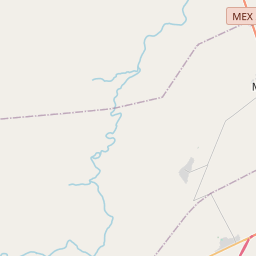
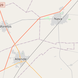
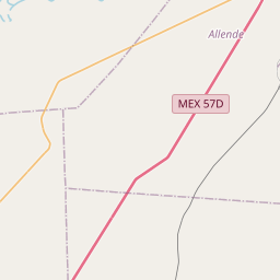
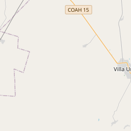
28.3181, -100.9117© OpenStreetMap
สถานที่ภายใต้รหัสนี้
9| สถานที่ | ภูมิภาค | เขต | พิกัด |
|---|---|---|---|
| Armando Guerra | Coahuila de Zaragoza | Allende | 28.3181, -100.9117 |
| El Comanche | Coahuila de Zaragoza | Allende | 28.2783, -100.916 |
| El Ingeniero | Coahuila de Zaragoza | Allende | 28.3181, -100.9117 |
| Guadalupe Reyna Navarro | Coahuila de Zaragoza | Allende | 28.3225, -100.917 |
| Juan Hernández | Coahuila de Zaragoza | Allende | 28.3191, -100.9154 |
| La Tembladora | Coahuila de Zaragoza | Allende | 28.3193, -100.8956 |
| Los Pinos (González) | Coahuila de Zaragoza | Allende | 28.3172, -100.9137 |
| Río Bravo | Coahuila de Zaragoza | Allende | 28.3125, -100.9167 |
| Vicente González Muñoz | Coahuila de Zaragoza | Allende | 28.3181, -100.9117 |
รหัสเดียวกันในประเทศอื่น
4FAQ
26540 อยู่ในเมืองใด?
Armando Guerra, Coahuila de Zaragoza, เม็กซิโก
พิกัดของ 26540 คืออะไร?
28.3181, -100.9117
26540 ถูกใช้ในประเทศอื่นด้วยหรือไม่?
ใช่ ในอีก 4 ประเทศ