90491 postal code
MexicoUpdated 2026-11-09San Andrés Ahuashuatepec, TlaxcalaTzompantepec5 digits
Postal code details
1 placeCode
90491
Place
San Andrés Ahuashuatepec
Region
Tlaxcala
County
Tzompantepec
Coordinates
19.3783, -98.1065
Accuracy
4 / 6
Country
Mexico
Location
OpenStreetMap ↗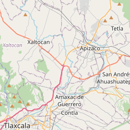

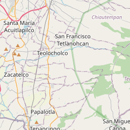

19.3783, -98.1065© OpenStreetMap
Ad slot · 300×250
Places under this code
1| Place | Region | County | Coordinates |
|---|---|---|---|
| San Andrés Ahuashuatepec | Tlaxcala | Tzompantepec | 19.3783, -98.1065 |
Same code in other countries
1| Country | Place | Region |
|---|---|---|
| DE Germany | Nürnberg | Bavaria |
FAQ
Which city is 90491 in?
San Andrés Ahuashuatepec, Tlaxcala, Mexico.
What are the coordinates of 90491?
19.3783, -98.1065
Is 90491 used in other countries?
Yes, 1 other countries.
Updated 2026-11-09. Attribution in Data & license.