90402 postal code
MexicoUpdated 2026-11-0910 de Mayo, TlaxcalaApizaco5 digits
Postal code details
5 placesCode
90402
Place
10 de Mayo
Region
Tlaxcala
County
Apizaco
Coordinates
19.4233, -98.0866
Accuracy
3 / 6
Country
Mexico
Location
OpenStreetMap ↗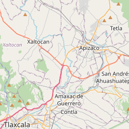

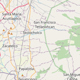

19.4233, -98.0866© OpenStreetMap
Ad slot · 300×250
Places under this code
5| Place | Region | County | Coordinates |
|---|---|---|---|
| 10 de Mayo | Tlaxcala | Apizaco | 19.4233, -98.0866 |
| 2a. Sección | Tlaxcala | Apizaco | 19.4233, -98.0866 |
| El Cerrito | Tlaxcala | Apizaco | 19.4233, -98.0866 |
| Francisco I. Madero | Tlaxcala | Apizaco | 19.4233, -98.1273 |
| Santa Maria Texcalac | Tlaxcala | Apizaco | 19.4233, -98.0866 |
Same code in other countries
5| Country | Place | Region |
|---|---|---|
| DE Germany | Nürnberg | Bavaria |
| EE Estonia | Panga | Lääne maakond |
| PL Poland | Łódź | Łódź Voivodeship |
| SE Sweden | Umeå | Västerbotten |
| US United States | Santa Monica | California |
FAQ
Which city is 90402 in?
10 de Mayo, Tlaxcala, Mexico.
What are the coordinates of 90402?
19.4233, -98.0866
Is 90402 used in other countries?
Yes, 5 other countries.
Updated 2026-11-09. Attribution in Data & license.