79670 postal code
MexicoUpdated 2026-11-09Atotonilco, San Luis PotosíCiudad Fernández5 digits
Postal code details
17 placesCode
79670
Place
Atotonilco
Region
San Luis Potosí
County
Ciudad Fernández
Coordinates
21.9929, -100.4422
Accuracy
4 / 6
Country
Mexico
Location
OpenStreetMap ↗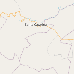
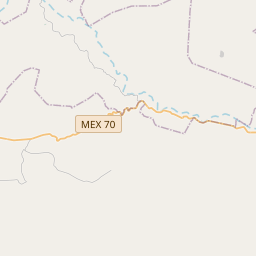
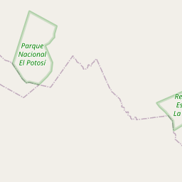
21.9929, -100.4422© OpenStreetMap
Ad slot · 300×250
Places under this code
17| Place | Region | County | Coordinates |
|---|---|---|---|
| Atotonilco | San Luis Potosí | Ciudad Fernández | 21.9929, -100.4422 |
| Colonia Camino Real | San Luis Potosí | Ciudad Fernández | 21.9853, -100.3939 |
| El Mimbre | San Luis Potosí | Ciudad Fernández | 21.8825, -100.3708 |
| El Mosco | San Luis Potosí | Ciudad Fernández | 21.9772, -100.4326 |
| El Obraje | San Luis Potosí | Ciudad Fernández | 21.9449, -100.4043 |
| Joya de las Peñas | San Luis Potosí | Ciudad Fernández | 21.9449, -100.4043 |
| La Concepción | San Luis Potosí | Ciudad Fernández | 22.0159, -100.2116 |
| La Minita | San Luis Potosí | Ciudad Fernández | 22.0159, -100.2116 |
| La Tízar | San Luis Potosí | Ciudad Fernández | 21.9833, -100.4603 |
| La Ventilla | San Luis Potosí | Ciudad Fernández | 21.9819, -100.4122 |
| Las Adjuntas | San Luis Potosí | Ciudad Fernández | 21.9864, -100.4558 |
| Las Pilas | San Luis Potosí | Ciudad Fernández | 21.9817, -100.4219 |
| Mesa del Campanario | San Luis Potosí | Ciudad Fernández | 21.9, -100.3872 |
| Morillos | San Luis Potosí | Ciudad Fernández | 21.9742, -100.3997 |
| Paso de San Martín | San Luis Potosí | Ciudad Fernández | 21.8797, -100.3681 |
| Puerto de Palo Gordo | San Luis Potosí | Ciudad Fernández | 21.8722, -100.3514 |
| Puerto las Joyas | San Luis Potosí | Ciudad Fernández | 21.8862, -100.3596 |
Same code in other countries
0This code only appears in this country.
FAQ
Which city is 79670 in?
Atotonilco, San Luis Potosí, Mexico.
What are the coordinates of 79670?
21.9929, -100.4422
Is 79670 used in other countries?
No.
Updated 2026-11-09. Attribution in Data & license.