78537 postal code
MexicoUpdated 2026-11-09El Blanco, San Luis PotosíCedral5 digits
Postal code details
14 placesCode
78537
Place
El Blanco
Region
San Luis Potosí
County
Cedral
Coordinates
23.7377, -100.7432
Accuracy
4 / 6
Country
Mexico
Location
OpenStreetMap ↗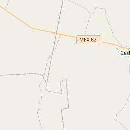
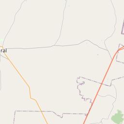
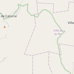
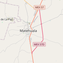
23.7377, -100.7432© OpenStreetMap
Ad slot · 300×250
Places under this code
14| Place | Region | County | Coordinates |
|---|---|---|---|
| El Blanco | San Luis Potosí | Cedral | 23.7377, -100.7432 |
| El Carmen | San Luis Potosí | Cedral | 23.9304, -100.6737 |
| El Pequeño | San Luis Potosí | Cedral | 23.8333, -100.7625 |
| El Sauz | San Luis Potosí | Cedral | 23.7556, -100.7253 |
| Entronque del Real | San Luis Potosí | Cedral | 23.8433, -100.8161 |
| Fraccionamiento Llanos de San Gabriel | San Luis Potosí | Cedral | 23.8017, -100.705 |
| La Cruz | San Luis Potosí | Cedral | 23.7641, -100.6872 |
| La Perla (Nogalar) | San Luis Potosí | Cedral | 23.786, -100.728 |
| Rancho Santo Domingo | San Luis Potosí | Cedral | 23.8078, -100.7286 |
| Rancho Vallarta | San Luis Potosí | Cedral | 23.7881, -100.7042 |
| Rancho el Cono del Progreso | San Luis Potosí | Cedral | 23.8033, -100.7339 |
| Rancho la Rinconada | San Luis Potosí | Cedral | 23.786, -100.728 |
| Refugio de las Monjas | San Luis Potosí | Cedral | 23.756, -100.7261 |
| Santa Teresa | San Luis Potosí | Cedral | 23.7555, -100.6755 |
Same code in other countries
1| Country | Place | Region |
|---|---|---|
| US United States | Donna | Texas |
FAQ
Which city is 78537 in?
El Blanco, San Luis Potosí, Mexico.
What are the coordinates of 78537?
23.7377, -100.7432
Is 78537 used in other countries?
Yes, 1 other countries.
Updated 2026-11-09. Attribution in Data & license.