52320 postal code
MexicoUpdated 2026-11-09Santa María Jajalpa, MéxicoTenango del Valle5 digits
Postal code details
1 placeCode
52320
Place
Santa María Jajalpa
Region
México
County
Tenango del Valle
Coordinates
19.1117, -99.5358
Accuracy
4 / 6
Country
Mexico
Location
OpenStreetMap ↗
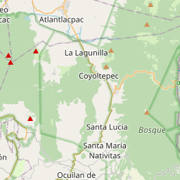
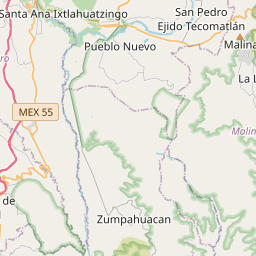
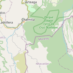
19.1117, -99.5358© OpenStreetMap
Ad slot · 300×250
Places under this code
1| Place | Region | County | Coordinates |
|---|---|---|---|
| Santa María Jajalpa | México | Tenango del Valle | 19.1117, -99.5358 |
Same code in other countries
9| Country | Place | Region |
|---|---|---|
| FI Finland | Vitsiälä | Southern Savonia |
| FR France | Cerisières | Grand Est |
| KR South Korea | 적량면 | 경상남도 |
| PK Pakistan | Ladhe Wala Waraich | Punjab |
| PL Poland | Wrocław | Lower Silesia |
| SE Sweden | Ulricehamn | Västra Götaland |
| TR Türkiye | Derebaşi | Ordu |
| UA Ukraine | Катеринопіль (Катеринопільська сільська рада) | Dnipropetrovska |
| US United States | Olin | Iowa |
FAQ
Which city is 52320 in?
Santa María Jajalpa, México, Mexico.
What are the coordinates of 52320?
19.1117, -99.5358
Is 52320 used in other countries?
Yes, 9 other countries.
Updated 2026-11-09. Attribution in Data & license.