50890 postal code
MexicoUpdated 2026-11-09Emiliano Zapata, MéxicoTemoaya5 digits
Postal code details
4 placesCode
50890
Place
Emiliano Zapata
Region
México
County
Temoaya
Coordinates
19.4528, -99.6233
Accuracy
4 / 6
Country
Mexico
Location
OpenStreetMap ↗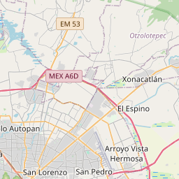
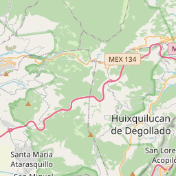

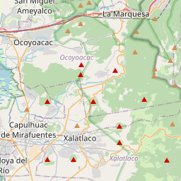
19.4528, -99.6233© OpenStreetMap
Ad slot · 300×250
Places under this code
4| Place | Region | County | Coordinates |
|---|---|---|---|
| Emiliano Zapata | México | Temoaya | 19.4528, -99.6233 |
| Lázaro Cárdenas | México | Temoaya | 19.4849, -99.6026 |
| San Diego Alcalá | México | Temoaya | 19.4626, -99.6097 |
| San Diego Alcalá Cuarta Sección | México | Temoaya | 19.4577, -99.6165 |
Same code in other countries
4| Country | Place | Region |
|---|---|---|
| FR France | Condé-sur-Vire | Normandie |
| KR South Korea | 김해시 | 경상남도 |
| PK Pakistan | Hajiwala | Punjab |
| SE Sweden | Borås | Västra Götaland |
FAQ
Which city is 50890 in?
Emiliano Zapata, México, Mexico.
What are the coordinates of 50890?
19.4528, -99.6233
Is 50890 used in other countries?
Yes, 4 other countries.
Updated 2026-11-09. Attribution in Data & license.