43586 postal code
MexicoUpdated 2026-11-09Cerro Alto, HidalgoEpazoyucan5 digits
Postal code details
12 placesCode
43586
Place
Cerro Alto
Region
Hidalgo
County
Epazoyucan
Coordinates
20.0315, -98.6435
Accuracy
3 / 6
Country
Mexico
Location
OpenStreetMap ↗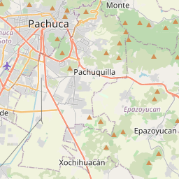
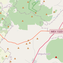
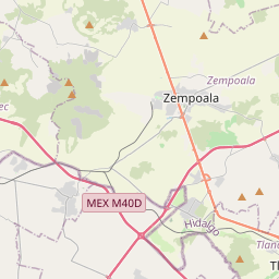
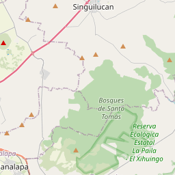
20.0315, -98.6435© OpenStreetMap
Ad slot · 300×250
Places under this code
12| Place | Region | County | Coordinates |
|---|---|---|---|
| Cerro Alto | Hidalgo | Epazoyucan | 20.0315, -98.6435 |
| El Cascabel (La Coyotera) | Hidalgo | Epazoyucan | 20.013, -98.6719 |
| El Grillo | Hidalgo | Epazoyucan | 20.0253, -98.6617 |
| Jometitlán | Hidalgo | Epazoyucan | 19.9895, -98.653 |
| La Paloma | Hidalgo | Epazoyucan | 19.9916, -98.7035 |
| Piedra Blanca | Hidalgo | Epazoyucan | 20.0315, -98.6435 |
| San Francisco | Hidalgo | Epazoyucan | 19.9933, -98.6761 |
| San José Palacio | Hidalgo | Epazoyucan | 20.0264, -98.6756 |
| San Miguel Nopalapa | Hidalgo | Epazoyucan | 20.0156, -98.7125 |
| San Vicente | Hidalgo | Epazoyucan | 20.0059, -98.681 |
| Tepozotlán | Hidalgo | Epazoyucan | 20.0108, -98.6644 |
| Xochihuacán | Hidalgo | Epazoyucan | 19.9872, -98.7099 |
Same code in other countries
0This code only appears in this country.
FAQ
Which city is 43586 in?
Cerro Alto, Hidalgo, Mexico.
What are the coordinates of 43586?
20.0315, -98.6435
Is 43586 used in other countries?
No.
Updated 2026-11-09. Attribution in Data & license.