42906 postal code
MexicoUpdated 2026-11-09Atargea (El Arco), HidalgoChapantongo5 digits
Postal code details
5 placesCode
42906
Place
Atargea (El Arco)
Region
Hidalgo
County
Chapantongo
Coordinates
20.3157, -99.3906
Accuracy
3 / 6
Country
Mexico
Location
OpenStreetMap ↗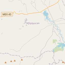
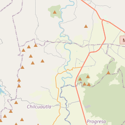
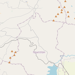
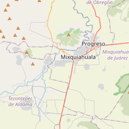
20.3157, -99.3906© OpenStreetMap
Ad slot · 300×250
Places under this code
5| Place | Region | County | Coordinates |
|---|---|---|---|
| Atargea (El Arco) | Hidalgo | Chapantongo | 20.3157, -99.3906 |
| La Loma | Hidalgo | Chapantongo | 20.3053, -99.3997 |
| San Juan el Sabino | Hidalgo | Chapantongo | 20.3294, -99.3752 |
| San Ramón | Hidalgo | Chapantongo | 20.2637, -99.4716 |
| Tenería | Hidalgo | Chapantongo | 20.3125, -99.397 |
Same code in other countries
1| Country | Place | Region |
|---|---|---|
| KR South Korea | 다사읍 | 대구광역시 |
FAQ
Which city is 42906 in?
Atargea (El Arco), Hidalgo, Mexico.
What are the coordinates of 42906?
20.3157, -99.3906
Is 42906 used in other countries?
Yes, 1 other countries.
Updated 2026-11-09. Attribution in Data & license.