42357 postal code
MexicoUpdated 2026-11-09Cazay, HidalgoZimapán5 digits
Postal code details
9 placesCode
42357
Place
Cazay
Region
Hidalgo
County
Zimapán
Coordinates
20.7244, -99.3914
Accuracy
4 / 6
Country
Mexico
Location
OpenStreetMap ↗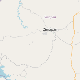
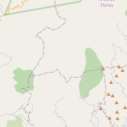
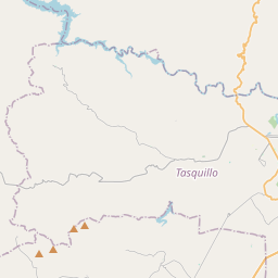
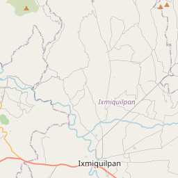
20.7244, -99.3914© OpenStreetMap
Ad slot · 300×250
Places under this code
9| Place | Region | County | Coordinates |
|---|---|---|---|
| Cazay | Hidalgo | Zimapán | 20.7244, -99.3914 |
| El Organal | Hidalgo | Zimapán | 20.7111, -99.4589 |
| La Estanzuela | Hidalgo | Zimapán | 20.7031, -99.4429 |
| La Loma | Hidalgo | Zimapán | 20.6578, -99.4256 |
| Los Pilares | Hidalgo | Zimapán | 20.7342, -99.3989 |
| Pozo Hondo | Hidalgo | Zimapán | 20.7222, -99.4564 |
| Puerto del Efe | Hidalgo | Zimapán | 20.7178, -99.4217 |
| San Antonio (Cuauhtémoc) | Hidalgo | Zimapán | 20.7219, -99.4314 |
| San Miguel | Hidalgo | Zimapán | 20.7116, -99.4284 |
Same code in other countries
2| Country | Place | Region |
|---|---|---|
| ID Indonesia | Asem | Banten |
| UA Ukraine | Нижня Сироватка | Sumska |
FAQ
Which city is 42357 in?
Cazay, Hidalgo, Mexico.
What are the coordinates of 42357?
20.7244, -99.3914
Is 42357 used in other countries?
Yes, 2 other countries.
Updated 2026-11-09. Attribution in Data & license.