42351 postal code
MexicoUpdated 2026-11-09Boñhú, HidalgoZimapán5 digits
Postal code details
8 placesCode
42351
Place
Boñhú
Region
Hidalgo
County
Zimapán
Coordinates
20.6703, -99.3958
Accuracy
4 / 6
Country
Mexico
Location
OpenStreetMap ↗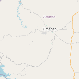
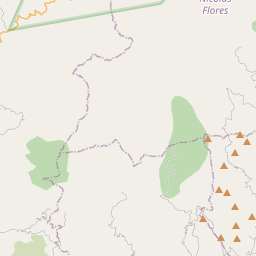
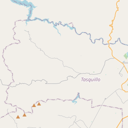
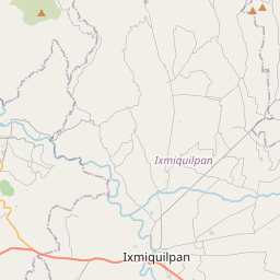
20.6703, -99.3958© OpenStreetMap
Ad slot · 300×250
Places under this code
8| Place | Region | County | Coordinates |
|---|---|---|---|
| Boñhú | Hidalgo | Zimapán | 20.6703, -99.3958 |
| Cruz Pinta | Hidalgo | Zimapán | 20.7175, -99.3701 |
| El Cuarto | Hidalgo | Zimapán | 20.6897, -99.3637 |
| El Tathí | Hidalgo | Zimapán | 20.6804, -99.4113 |
| La Tinaja | Hidalgo | Zimapán | 20.6786, -99.3897 |
| Lázaro Cárdenas (Remedios) | Hidalgo | Zimapán | 20.7018, -99.3275 |
| Puetzey | Hidalgo | Zimapán | 20.6632, -99.3739 |
| Álvaro Obregón (Temuthe) | Hidalgo | Zimapán | 20.6859, -99.376 |
Same code in other countries
5| Country | Place | Region |
|---|---|---|
| ES Spain | Alcoba De La Torre | Castilla - Leon |
| FR France | La Talaudière | Auvergne-Rhône-Alpes |
| SE Sweden | Torslanda | Västra Götaland |
| UA Ukraine | Верхня Сироватка | Sumska |
| US United States | Lewisport | Kentucky |
FAQ
Which city is 42351 in?
Boñhú, Hidalgo, Mexico.
What are the coordinates of 42351?
20.6703, -99.3958
Is 42351 used in other countries?
Yes, 5 other countries.
Updated 2026-11-09. Attribution in Data & license.