42210 postal code
MexicoUpdated 2026-11-09Comatitlán, HidalgoJacala de Ledezma5 digits
Postal code details
6 placesCode
42210
Place
Comatitlán
Region
Hidalgo
County
Jacala de Ledezma
Coordinates
20.8442, -99.0857
Accuracy
4 / 6
Country
Mexico
Location
OpenStreetMap ↗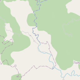
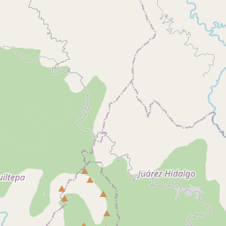
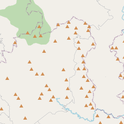
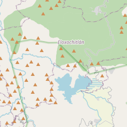
20.8442, -99.0857© OpenStreetMap
Ad slot · 300×250
Places under this code
6| Place | Region | County | Coordinates |
|---|---|---|---|
| Comatitlán | Hidalgo | Jacala de Ledezma | 20.8442, -99.0857 |
| La Palma | Hidalgo | Jacala de Ledezma | 20.8776, -99.0625 |
| Nuevo | Hidalgo | Jacala de Ledezma | 20.817, -99.0794 |
| Quetzalapa | Hidalgo | Jacala de Ledezma | 20.8561, -99.0429 |
| San Nicolás | Hidalgo | Jacala de Ledezma | 20.9459, -99.1647 |
| Vado Hondo | Hidalgo | Jacala de Ledezma | 20.8456, -99.0318 |
Same code in other countries
7| Country | Place | Region |
|---|---|---|
| ES Spain | Barca | Castilla - Leon |
| FR France | Bellegarde-en-Forez | Auvergne-Rhône-Alpes |
| KR South Korea | 수성구 | 대구광역시 |
| PK Pakistan | Musa Khel | Punjab |
| SE Sweden | Hisings Backa | Västra Götaland |
| TH Thailand | Na Duang | Loei |
| US United States | Brownsville | Kentucky |
FAQ
Which city is 42210 in?
Comatitlán, Hidalgo, Mexico.
What are the coordinates of 42210?
20.8442, -99.0857
Is 42210 used in other countries?
Yes, 7 other countries.
Updated 2026-11-09. Attribution in Data & license.