40420 postal code
MexicoUpdated 2026-11-09Acatempan, GuerreroTeloloapan5 digits
Postal code details
5 placesCode
40420
Place
Acatempan
Region
Guerrero
County
Teloloapan
Coordinates
18.3181, -99.883
Accuracy
4 / 6
Country
Mexico
Location
OpenStreetMap ↗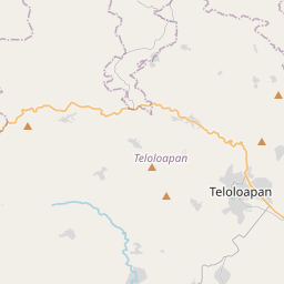
18.3181, -99.883© OpenStreetMap
Ad slot · 300×250
Places under this code
5| Place | Region | County | Coordinates |
|---|---|---|---|
| Acatempan | Guerrero | Teloloapan | 18.3181, -99.883 |
| Ahuacatitlán | Guerrero | Teloloapan | 18.377, -99.8216 |
| El Tanque | Guerrero | Teloloapan | 18.3419, -99.8767 |
| Valle de Xóchitl | Guerrero | Teloloapan | 18.341, -99.8781 |
| Zacatlán de Guerrero | Guerrero | Teloloapan | 18.3117, -99.9008 |
Same code in other countries
5| Country | Place | Region |
|---|---|---|
| ES Spain | La Losa | Castilla - Leon |
| FI Finland | Jyskä | Central Finland Region |
| FR France | Brocas | Nouvelle-Aquitaine |
| PK Pakistan | Manzoor Hayat Colony Bhalwal | Punjab |
| SE Sweden | Göteborg | Västra Götaland |
FAQ
Which city is 40420 in?
Acatempan, Guerrero, Mexico.
What are the coordinates of 40420?
18.3181, -99.883
Is 40420 used in other countries?
Yes, 5 other countries.
Updated 2026-11-09. Attribution in Data & license.