40404 postal code
MexicoUpdated 2026-11-09Ahuehuetla, GuerreroTeloloapan5 digits
Postal code details
6 placesCode
40404
Place
Ahuehuetla
Region
Guerrero
County
Teloloapan
Coordinates
18.3132, -99.938
Accuracy
4 / 6
Country
Mexico
Location
OpenStreetMap ↗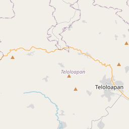
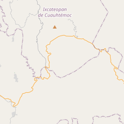
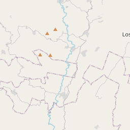
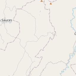
18.3132, -99.938© OpenStreetMap
Ad slot · 300×250
Places under this code
6| Place | Region | County | Coordinates |
|---|---|---|---|
| Ahuehuetla | Guerrero | Teloloapan | 18.3132, -99.938 |
| Cerro Alto | Guerrero | Teloloapan | 18.3774, -99.9573 |
| El Capire | Guerrero | Teloloapan | 18.3348, -99.9355 |
| Río de Sayulapa | Guerrero | Teloloapan | 18.355, -99.9151 |
| Tierra Blanca | Guerrero | Teloloapan | 18.3898, -99.8469 |
| Tlanquizolco Ixticapa | Guerrero | Teloloapan | 18.3599, -99.8976 |
FAQ
Which city is 40404 in?
Ahuehuetla, Guerrero, Mexico.
What are the coordinates of 40404?
18.3132, -99.938
Is 40404 used in other countries?
Yes, 4 other countries.
Updated 2026-11-09. Attribution in Data & license.