40192 postal code
MexicoUpdated 2026-11-09Balsas Sur, GuerreroEduardo Neri5 digits
Postal code details
4 placesCode
40192
Place
Balsas Sur
Region
Guerrero
County
Eduardo Neri
Coordinates
18.0008, -99.7722
Accuracy
4 / 6
Country
Mexico
Location
OpenStreetMap ↗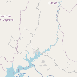
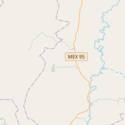
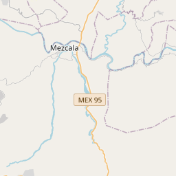
18.0008, -99.7722© OpenStreetMap
Ad slot · 300×250
Places under this code
4| Place | Region | County | Coordinates |
|---|---|---|---|
| Balsas Sur | Guerrero | Eduardo Neri | 18.0008, -99.7722 |
| El Tepehuaje | Guerrero | Eduardo Neri | 17.8016, -99.6098 |
| Mazapa | Guerrero | Eduardo Neri | 17.9145, -99.702 |
| Tecomapa | Guerrero | Eduardo Neri | 17.8016, -99.6098 |
Same code in other countries
3| Country | Place | Region |
|---|---|---|
| DE Germany | Landesamt für Besoldung und Versorgung NRW | Nordrhein-Westfalen |
| ES Spain | Adrada De Piron | Castilla - Leon |
| ID Indonesia | Pasirlayung | Jawa Barat |
FAQ
Which city is 40192 in?
Balsas Sur, Guerrero, Mexico.
What are the coordinates of 40192?
18.0008, -99.7722
Is 40192 used in other countries?
Yes, 3 other countries.
Updated 2026-11-09. Attribution in Data & license.