38118 postal code
MexicoUpdated 2026-11-09El Álamo, GuanajuatoCelaya5 digits
Postal code details
1 placeCode
38118
Place
El Álamo
Region
Guanajuato
County
Celaya
Coordinates
20.5522, -100.8961
Accuracy
4 / 6
Country
Mexico
Location
OpenStreetMap ↗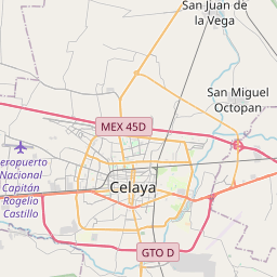
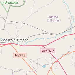
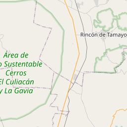
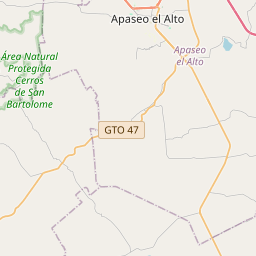
20.5522, -100.8961© OpenStreetMap
Ad slot · 300×250
Places under this code
1| Place | Region | County | Coordinates |
|---|---|---|---|
| El Álamo | Guanajuato | Celaya | 20.5522, -100.8961 |
Same code in other countries
6| Country | Place | Region |
|---|---|---|
| DE Germany | Braunschweig | Lower Saxony |
| FR France | Hières-sur-Amby | Auvergne-Rhône-Alpes |
| ID Indonesia | Bajak (Kampung Teleng) | Propinsi Bengkulu |
| KR South Korea | 경주시 | 경상북도 |
| UA Ukraine | Вінтенці | Poltavska |
| US United States | Memphis | Tennessee |
FAQ
Which city is 38118 in?
El Álamo, Guanajuato, Mexico.
What are the coordinates of 38118?
20.5522, -100.8961
Is 38118 used in other countries?
Yes, 6 other countries.
Updated 2026-11-09. Attribution in Data & license.