35020 postal code
MexicoUpdated 2026-11-09El Polvorón, DurangoGómez Palacio5 digits
Postal code details
5 placesCode
35020
Place
El Polvorón
Region
Durango
County
Gómez Palacio
Coordinates
25.7008, -103.4545
Accuracy
4 / 6
Country
Mexico
Location
OpenStreetMap ↗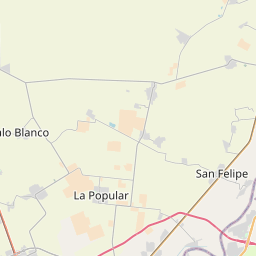
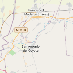
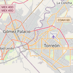
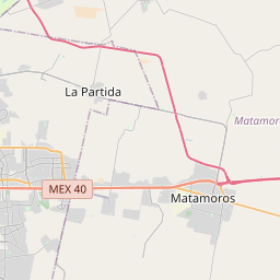
25.7008, -103.4545© OpenStreetMap
Ad slot · 300×250
Places under this code
5| Place | Region | County | Coordinates |
|---|---|---|---|
| El Polvorón | Durango | Gómez Palacio | 25.7008, -103.4545 |
| La Esperanza | Durango | Gómez Palacio | 25.6564, -103.4548 |
| Los Álamos | Durango | Gómez Palacio | 25.728, -103.4907 |
| Morales | Durango | Gómez Palacio | 25.7025, -103.3726 |
| Rosales | Durango | Gómez Palacio | 25.7011, -103.452 |
Same code in other countries
8| Country | Place | Region |
|---|---|---|
| DZ Algeria | Balloul (Douar) | Boumerdes |
| FR France | Rennes | Bretagne |
| IT Italy | Albignasego | Veneto |
| KR South Korea | 중구 | 대전광역시 |
| PK Pakistan | P.A.F. Colony Shor Kot | Punjab |
| PL Poland | Rzeszów | Subcarpathia |
| UA Ukraine | Пеньків | Rivnenska |
| US United States | Bessemer | Alabama |
FAQ
Which city is 35020 in?
El Polvorón, Durango, Mexico.
What are the coordinates of 35020?
25.7008, -103.4545
Is 35020 used in other countries?
Yes, 8 other countries.
Updated 2026-11-09. Attribution in Data & license.