30795 postal code
MexicoUpdated 2026-11-09Emiliano Zapata, ChiapasTapachula5 digits
Postal code details
10 placesCode
30795
Place
Emiliano Zapata
Region
Chiapas
County
Tapachula
Coordinates
15.1093, -92.2784
Accuracy
4 / 6
Country
Mexico
Location
OpenStreetMap ↗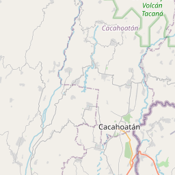
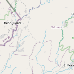
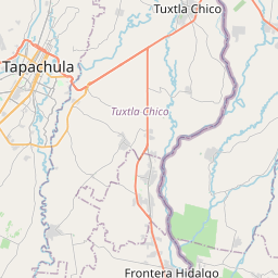
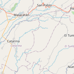
15.1093, -92.2784© OpenStreetMap
Ad slot · 300×250
Places under this code
10| Place | Region | County | Coordinates |
|---|---|---|---|
| Emiliano Zapata | Chiapas | Tapachula | 15.1093, -92.2784 |
| Esquipulas II | Chiapas | Tapachula | 14.9616, -92.282 |
| Los Amates | Chiapas | Tapachula | 14.8878, -92.2717 |
| Los Claveles | Chiapas | Tapachula | 14.9339, -92.3048 |
| Los Limones | Chiapas | Tapachula | 15.1742, -92.3036 |
| Pedregal San Ángel | Chiapas | Tapachula | 14.9057, -92.282 |
| Pobres Unidos | Chiapas | Tapachula | 14.8858, -92.2994 |
| Teofilo Acebo | Chiapas | Tapachula | 14.8859, -92.2688 |
| Villa las Flores | Chiapas | Tapachula | 14.8825, -92.27 |
| Villa las Flores II | Chiapas | Tapachula | 14.9616, -92.282 |
Same code in other countries
0This code only appears in this country.
FAQ
Which city is 30795 in?
Emiliano Zapata, Chiapas, Mexico.
What are the coordinates of 30795?
15.1093, -92.2784
Is 30795 used in other countries?
No.
Updated 2026-11-09. Attribution in Data & license.