30566 postal code
MexicoUpdated 2026-11-09El Encanto, ChiapasMapastepec5 digits
Postal code details
6 placesCode
30566
Place
El Encanto
Region
Chiapas
County
Mapastepec
Coordinates
15.3897, -92.9035
Accuracy
4 / 6
Country
Mexico
Location
OpenStreetMap ↗
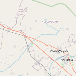

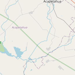
15.3897, -92.9035© OpenStreetMap
Ad slot · 300×250
Places under this code
6| Place | Region | County | Coordinates |
|---|---|---|---|
| El Encanto | Chiapas | Mapastepec | 15.3897, -92.9035 |
| El Huamuche | Chiapas | Mapastepec | 15.3864, -92.8819 |
| La Alianza | Chiapas | Mapastepec | 15.3717, -92.8717 |
| La Playa | Chiapas | Mapastepec | 15.4083, -92.8653 |
| Los Limones | Chiapas | Mapastepec | 15.3867, -92.8617 |
| Santo Tomás | Chiapas | Mapastepec | 15.3825, -92.8858 |
Same code in other countries
3| Country | Place | Region |
|---|---|---|
| ES Spain | Huerta De Abajo (Torres De Cotillas) | Murcia |
| PL Poland | Kraków | Lesser Poland |
| US United States | Oakwood | Georgia |
FAQ
Which city is 30566 in?
El Encanto, Chiapas, Mexico.
What are the coordinates of 30566?
15.3897, -92.9035
Is 30566 used in other countries?
Yes, 3 other countries.
Updated 2026-11-09. Attribution in Data & license.