30018 postal code
MexicoUpdated 2026-11-09La Pila, ChiapasComitán de Domínguez5 digits
Postal code details
1 placeCode
30018
Place
La Pila
Region
Chiapas
County
Comitán de Domínguez
Coordinates
16.2969, -92.1789
Accuracy
1 / 6
Country
Mexico
Location
OpenStreetMap ↗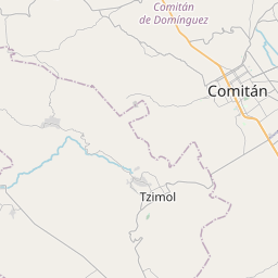
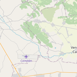
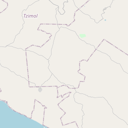
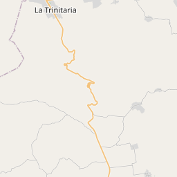
16.2969, -92.1789© OpenStreetMap
Ad slot · 300×250
Places under this code
1| Place | Region | County | Coordinates |
|---|---|---|---|
| La Pila | Chiapas | Comitán de Domínguez | 16.2969, -92.1789 |
Same code in other countries
8| Country | Place | Region |
|---|---|---|
| DZ Algeria | Zaouia El Abidia | Ouargla |
| FR France | Nîmes | Occitanie |
| KR South Korea | 조치원읍 | 세종특별자치시 |
| LK Sri Lanka | Navatkadu | Eastern Province |
| LT Lithuania | Anastazavo k. | Utena County |
| PL Poland | Kraków | Lesser Poland |
| UA Ukraine | Миньківці | Khmelnytska |
| US United States | Jersey | Georgia |
FAQ
Which city is 30018 in?
La Pila, Chiapas, Mexico.
What are the coordinates of 30018?
16.2969, -92.1789
Is 30018 used in other countries?
Yes, 8 other countries.
Updated 2026-11-09. Attribution in Data & license.