22040 postal code
MexicoUpdated 2026-11-09Juárez, Baja CaliforniaTijuana5 digits
Postal code details
2 placesCode
22040
Place
Juárez
Region
Baja California
County
Tijuana
Coordinates
32.4041, -116.8198
Accuracy
1 / 6
Country
Mexico
Location
OpenStreetMap ↗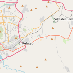
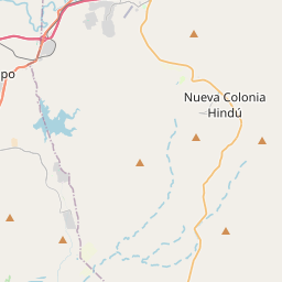
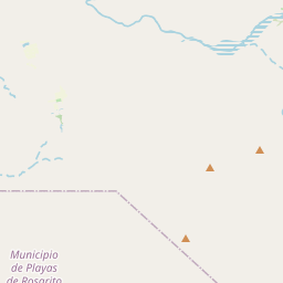
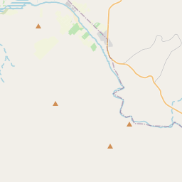
32.4041, -116.8198© OpenStreetMap
Ad slot · 300×250
Places under this code
2| Place | Region | County | Coordinates |
|---|---|---|---|
| Juárez | Baja California | Tijuana | 32.4041, -116.8198 |
| Madero (Cacho) | Baja California | Tijuana | 32.362, -116.9505 |
Same code in other countries
6| Country | Place | Region |
|---|---|---|
| DZ Algeria | Benachiba Chelia | Sidi-Bel-Abbes |
| IT Italy | Alserio | Lombardia |
| LK Sri Lanka | Kottellena | Central Province |
| PK Pakistan | Ayub Medical College Abbottabad | Khyber Pakhtunkhwa |
| UA Ukraine | Великий Остріжок | Vinnytska |
| US United States | Falls Church | Virginia |
FAQ
Which city is 22040 in?
Juárez, Baja California, Mexico.
What are the coordinates of 22040?
32.4041, -116.8198
Is 22040 used in other countries?
Yes, 6 other countries.
Updated 2026-11-09. Attribution in Data & license.