79997 codice postale
MessicoAggiornato 2026-11-09Choteo, San Luis PotosíTamazunchale5 cifre
Dettagli del codice postale
8 luoghiCodice
79997
Luogo
Choteo
Regione
San Luis Potosí
Contea
Tamazunchale
Coordinate
21.2589, -98.8217
Precisione
4 / 6
Paese
Messico
Posizione
OpenStreetMap ↗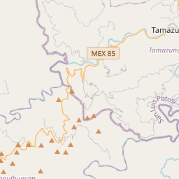
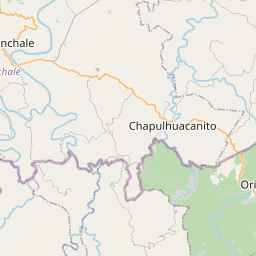
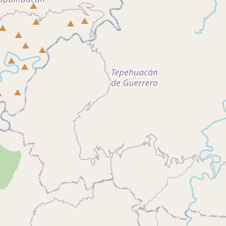
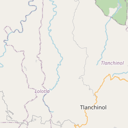
21.2589, -98.8217© OpenStreetMap
Spazio pubblicitario · 300×250
Luoghi con questo codice
8| Luogo | Regione | Contea | Coordinate |
|---|---|---|---|
| Choteo | San Luis Potosí | Tamazunchale | 21.2589, -98.8217 |
| Ixtla (Ixtla Santiago) | San Luis Potosí | Tamazunchale | 21.2022, -98.8547 |
| La Fortuna | San Luis Potosí | Tamazunchale | 21.2542, -98.8114 |
| Paguayo | San Luis Potosí | Tamazunchale | 21.2694, -98.8575 |
| Pahuayo San Miguel | San Luis Potosí | Tamazunchale | 21.2433, -98.8003 |
| Quinta Chilla | San Luis Potosí | Tamazunchale | 21.2575, -98.8031 |
| Tetlama | San Luis Potosí | Tamazunchale | 21.2389, -98.8144 |
| Texopis | San Luis Potosí | Tamazunchale | 21.2239, -98.8089 |
Stesso codice in altri Paesi
1| Paese | Luogo | Regione |
|---|---|---|
| US Stati Uniti | El Paso | Texas |
FAQ
In quale città si trova 79997?
Choteo, San Luis Potosí, Messico.
Quali sono le coordinate di 79997?
21.2589, -98.8217
79997 è usato in altri Paesi?
Sì, in altri 1 Paesi.
Aggiornato il 2026-11-09. Attribuzione in Dati e licenza.