79670 codice postale
MessicoAggiornato 2026-11-09Atotonilco, San Luis PotosíCiudad Fernández5 cifre
Dettagli del codice postale
17 luoghiCodice
79670
Luogo
Atotonilco
Regione
San Luis Potosí
Contea
Ciudad Fernández
Coordinate
21.9929, -100.4422
Precisione
4 / 6
Paese
Messico
Posizione
OpenStreetMap ↗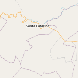
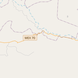
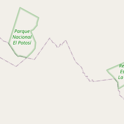
21.9929, -100.4422© OpenStreetMap
Spazio pubblicitario · 300×250
Luoghi con questo codice
17| Luogo | Regione | Contea | Coordinate |
|---|---|---|---|
| Atotonilco | San Luis Potosí | Ciudad Fernández | 21.9929, -100.4422 |
| Colonia Camino Real | San Luis Potosí | Ciudad Fernández | 21.9853, -100.3939 |
| El Mimbre | San Luis Potosí | Ciudad Fernández | 21.8825, -100.3708 |
| El Mosco | San Luis Potosí | Ciudad Fernández | 21.9772, -100.4326 |
| El Obraje | San Luis Potosí | Ciudad Fernández | 21.9449, -100.4043 |
| Joya de las Peñas | San Luis Potosí | Ciudad Fernández | 21.9449, -100.4043 |
| La Concepción | San Luis Potosí | Ciudad Fernández | 22.0159, -100.2116 |
| La Minita | San Luis Potosí | Ciudad Fernández | 22.0159, -100.2116 |
| La Tízar | San Luis Potosí | Ciudad Fernández | 21.9833, -100.4603 |
| La Ventilla | San Luis Potosí | Ciudad Fernández | 21.9819, -100.4122 |
| Las Adjuntas | San Luis Potosí | Ciudad Fernández | 21.9864, -100.4558 |
| Las Pilas | San Luis Potosí | Ciudad Fernández | 21.9817, -100.4219 |
| Mesa del Campanario | San Luis Potosí | Ciudad Fernández | 21.9, -100.3872 |
| Morillos | San Luis Potosí | Ciudad Fernández | 21.9742, -100.3997 |
| Paso de San Martín | San Luis Potosí | Ciudad Fernández | 21.8797, -100.3681 |
| Puerto de Palo Gordo | San Luis Potosí | Ciudad Fernández | 21.8722, -100.3514 |
| Puerto las Joyas | San Luis Potosí | Ciudad Fernández | 21.8862, -100.3596 |
Stesso codice in altri Paesi
0Questo codice compare solo in questo Paese.
FAQ
In quale città si trova 79670?
Atotonilco, San Luis Potosí, Messico.
Quali sono le coordinate di 79670?
21.9929, -100.4422
79670 è usato in altri Paesi?
No.
Aggiornato il 2026-11-09. Attribuzione in Dati e licenza.