79550 codice postale
MessicoAggiornato 2026-11-09El Carrizal, San Luis PotosíZaragoza5 cifre
Dettagli del codice postale
9 luoghiCodice
79550
Luogo
El Carrizal
Regione
San Luis Potosí
Contea
Zaragoza
Coordinate
22.0082, -100.6767
Precisione
3 / 6
Paese
Messico
Posizione
OpenStreetMap ↗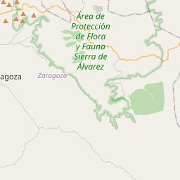
22.0082, -100.6767© OpenStreetMap
Spazio pubblicitario · 300×250
Luoghi con questo codice
9| Luogo | Regione | Contea | Coordinate |
|---|---|---|---|
| El Carrizal | San Luis Potosí | Zaragoza | 22.0082, -100.6767 |
| El Puertecito de las Escobas | San Luis Potosí | Zaragoza | 21.9269, -100.5644 |
| El Recodo | San Luis Potosí | Zaragoza | 21.9381, -100.5725 |
| Joya Honda | San Luis Potosí | Zaragoza | 21.9792, -100.5806 |
| La Laguna | San Luis Potosí | Zaragoza | 22.0082, -100.6767 |
| Los Dos Cerros | San Luis Potosí | Zaragoza | 21.9338, -100.5572 |
| Potrerillo | San Luis Potosí | Zaragoza | 21.9258, -100.5553 |
| Puerto del Jacal | San Luis Potosí | Zaragoza | 21.9653, -100.5713 |
| Salitrera | San Luis Potosí | Zaragoza | 21.9403, -100.5799 |
FAQ
In quale città si trova 79550?
El Carrizal, San Luis Potosí, Messico.
Quali sono le coordinate di 79550?
22.0082, -100.6767
79550 è usato in altri Paesi?
Sì, in altri 2 Paesi.
Aggiornato il 2026-11-09. Attribuzione in Dati e licenza.