
Messico
79305 codice postale
Dettagli del codice postale
5 luoghiCodice
Luogo
Arboleda
Regione
San Luis Potosí
Contea
El Naranjo
Coordinate
22.4901, -99.366
Precisione
1 / 6
Paese
Messico
Posizione
OpenStreetMap ↗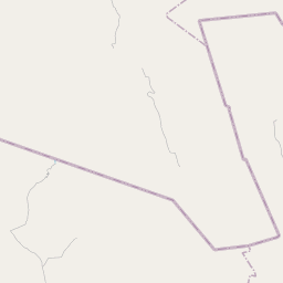
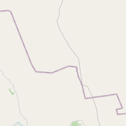


22.4901, -99.366© OpenStreetMap
Luoghi con questo codice
5| Luogo | Regione | Contea | Coordinate |
|---|---|---|---|
| Arboleda | San Luis Potosí | El Naranjo | 22.4901, -99.366 |
| La Bahia | San Luis Potosí | El Naranjo | 22.5497, -99.3203 |
| La Crúz | San Luis Potosí | El Naranjo | 22.4901, -99.366 |
| La Encantada | San Luis Potosí | El Naranjo | 22.4901, -99.366 |
| Las Margaritas | San Luis Potosí | El Naranjo | 22.4901, -99.366 |
Stesso codice in altri Paesi
2FAQ
In quale città si trova 79305?
Arboleda, San Luis Potosí, Messico.
Quali sono le coordinate di 79305?
22.4901, -99.366
79305 è usato in altri Paesi?
Sì, in altri 2 Paesi.