78426 codice postale
MessicoAggiornato 2026-11-09Arroyos, San Luis PotosíSan Luis Potosí5 cifre
Dettagli del codice postale
13 luoghiCodice
78426
Luogo
Arroyos
Regione
San Luis Potosí
Contea
San Luis Potosí
Coordinate
22.0545, -100.9052
Precisione
4 / 6
Paese
Messico
Posizione
OpenStreetMap ↗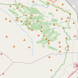
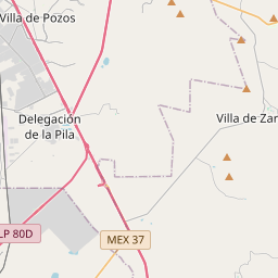
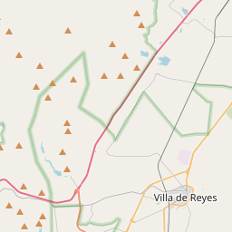
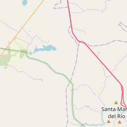
22.0545, -100.9052© OpenStreetMap
Spazio pubblicitario · 300×250
Luoghi con questo codice
13| Luogo | Regione | Contea | Coordinate |
|---|---|---|---|
| Arroyos | San Luis Potosí | San Luis Potosí | 22.0545, -100.9052 |
| El Peñón | San Luis Potosí | San Luis Potosí | 22.0556, -100.9119 |
| El Ranchito | San Luis Potosí | San Luis Potosí | 22.0986, -100.9481 |
| El Terrero Sur | San Luis Potosí | San Luis Potosí | 22.0404, -100.9085 |
| El Zapote (San Juan de Guadalupe) | San Luis Potosí | San Luis Potosí | 22.0056, -100.9136 |
| Emiliano Zapata | San Luis Potosí | San Luis Potosí | 22.2703, -100.9608 |
| Fracción el Aguaje | San Luis Potosí | San Luis Potosí | 22.0528, -100.9101 |
| Jarillas de Gómez | San Luis Potosí | San Luis Potosí | 22.0181, -100.8989 |
| Joyas del Aguaje | San Luis Potosí | San Luis Potosí | 22.0994, -100.9267 |
| La Cantera | San Luis Potosí | San Luis Potosí | 22.0689, -100.9106 |
| La Pila | San Luis Potosí | San Luis Potosí | 22.0343, -100.8679 |
| La Pila (Ángel Ligas) | San Luis Potosí | San Luis Potosí | 22.0528, -100.9101 |
| Rancho la Gloria Escondida | San Luis Potosí | San Luis Potosí | 22.0528, -100.9101 |
Stesso codice in altri Paesi
3| Paese | Luogo | Regione |
|---|---|---|
| PL Polonia | Cybulin | West Pomerania |
| UA Ucraina | Парище | Ivano-Frankivska |
| US Stati Uniti | Corpus Christi | Texas |
FAQ
In quale città si trova 78426?
Arroyos, San Luis Potosí, Messico.
Quali sono le coordinate di 78426?
22.0545, -100.9052
78426 è usato in altri Paesi?
Sì, in altri 3 Paesi.
Aggiornato il 2026-11-09. Attribuzione in Dati e licenza.