42302 codice postale
MessicoAggiornato 2026-11-09Benito Juárez, HidalgoIxmiquilpan5 cifre
Dettagli del codice postale
19 luoghiCodice
42302
Luogo
Benito Juárez
Regione
Hidalgo
Contea
Ixmiquilpan
Coordinate
20.5326, -99.2014
Precisione
3 / 6
Paese
Messico
Posizione
OpenStreetMap ↗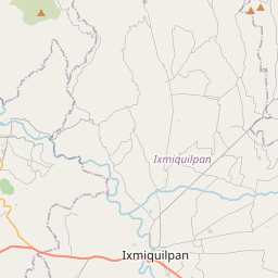
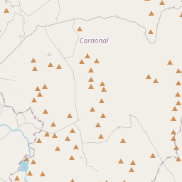
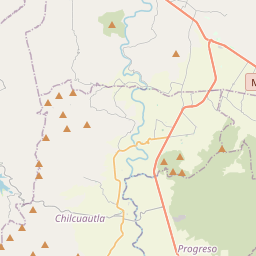
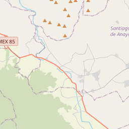
20.5326, -99.2014© OpenStreetMap
Spazio pubblicitario · 300×250
Luoghi con questo codice
19| Luogo | Regione | Contea | Coordinate |
|---|---|---|---|
| Benito Juárez | Hidalgo | Ixmiquilpan | 20.5326, -99.2014 |
| Cuatro Milpas | Hidalgo | Ixmiquilpan | 20.5773, -99.2409 |
| El Carmen | Hidalgo | Ixmiquilpan | 20.5326, -99.2014 |
| El Carrizal | Hidalgo | Ixmiquilpan | 20.4992, -99.2047 |
| Joaquín Baranda | Hidalgo | Ixmiquilpan | 20.5773, -99.2409 |
| La Purísima | Hidalgo | Ixmiquilpan | 20.5326, -99.2014 |
| La Reforma | Hidalgo | Ixmiquilpan | 20.4723, -99.2318 |
| Las Bugambilias | Hidalgo | Ixmiquilpan | 20.5326, -99.2014 |
| Los Nogales | Hidalgo | Ixmiquilpan | 20.5326, -99.2014 |
| Miguel Hidalgo | Hidalgo | Ixmiquilpan | 20.4921, -99.208 |
| Nueva Cerritos | Hidalgo | Ixmiquilpan | 20.5773, -99.2409 |
| San Antonio | Hidalgo | Ixmiquilpan | 20.5326, -99.2014 |
| San Miguel | Hidalgo | Ixmiquilpan | 20.4921, -99.208 |
| San Nicolás | Hidalgo | Ixmiquilpan | 20.5028, -99.2169 |
| San Rafael | Hidalgo | Ixmiquilpan | 20.5326, -99.2014 |
| Santa Alicia | Hidalgo | Ixmiquilpan | 20.5773, -99.2409 |
| Santa Ana (Barrio de Progreso) | Hidalgo | Ixmiquilpan | 20.488, -99.2376 |
| Vicente Guerrero | Hidalgo | Ixmiquilpan | 20.5326, -99.2014 |
| Vista Hermosa | Hidalgo | Ixmiquilpan | 20.5457, -99.1905 |
FAQ
In quale città si trova 42302?
Benito Juárez, Hidalgo, Messico.
Quali sono le coordinate di 42302?
20.5326, -99.2014
42302 è usato in altri Paesi?
Sì, in altri 6 Paesi.
Aggiornato il 2026-11-09. Attribuzione in Dati e licenza.