7042 postal code
HungaryUpdated 2026-11-09Pálfa, TolnaPostal code
Postal code details
1 placeCode
7042
Place
Pálfa
Region
Tolna
County
—
Coordinates
46.7122, 18.6088
Accuracy
4 / 6
Country
Hungary
Location
OpenStreetMap ↗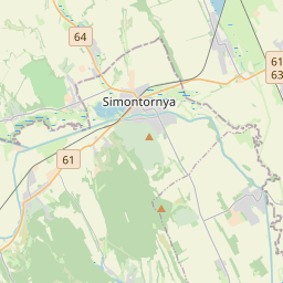
46.7122, 18.6088© OpenStreetMap
Ad slot · 300×250
Places under this code
1| Place | Region | County | Coordinates |
|---|---|---|---|
| Pálfa | Tolna | — | 46.7122, 18.6088 |
Same code in other countries
5| Country | Place | Region |
|---|---|---|
| AT Austria | Antau / Otava | Burgenland |
| BD Bangladesh | Allardarga | Khulna Division |
| NO Norway | Trondheim | Trøndelag |
| NZ New Zealand | Nelson South | Nelson |
| PH Philippines | Guipos | Zamboanga Peninsula |
FAQ
Which city is 7042 in?
Pálfa, Tolna, Hungary.
What are the coordinates of 7042?
46.7122, 18.6088
Is 7042 used in other countries?
Yes, 5 other countries.
Updated 2026-11-09. Attribution in Data & license.