WS9 postal code
United KingdomUpdated 2026-11-09Aldridge, EnglandWest MidlandsOutcode
Postal code details
5 placesCode
WS9
Place
Aldridge
Region
England
County
West Midlands
Coordinates
52.6055, -1.9171
Accuracy
4 / 6
Country
United Kingdom
Location
OpenStreetMap ↗

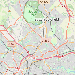

52.6055, -1.9171© OpenStreetMap
Ad slot · 300×250
Places under this code
5| Place | Region | County | Coordinates |
|---|---|---|---|
| Aldridge | England | West Midlands | 52.6055, -1.9171 |
| Stonnall | England | Staffordshire | 52.6333, -1.8944 |
| Thornes | England | West Midlands | 52.6099, -1.9188 |
| Vigo | England | West Midlands | 52.6099, -1.9188 |
| Walsall Wood | England | West Midlands | 52.6268, -1.9316 |
Same code in other countries
0This code only appears in this country.
FAQ
Which city is WS9 in?
Aldridge, England, United Kingdom.
What are the coordinates of WS9?
52.6055, -1.9171
Is WS9 used in other countries?
No.
Updated 2026-11-09. Attribution in Data & license.