
United Kingdom
TF13 post code
Post code details
14 placesCode
Place
Bourton
Region
England
County
Shropshire
Coordinates
52.5667, -2.6
Accuracy
4 / 6
Country
United Kingdom
Location
OpenStreetMap ↗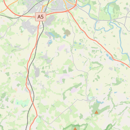
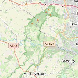


52.5667, -2.6© OpenStreetMap
Places under this code
14| Place | Region | County | Coordinates |
|---|---|---|---|
| Bourton | England | Shropshire | 52.5667, -2.6 |
| Brockton | England | Shropshire | 52.5793, -2.5809 |
| East Wall | England | Shropshire | 52.5793, -2.5809 |
| Easthope | England | Shropshire | 52.5533, -2.6407 |
| Holdgate | England | Shropshire | 52.5793, -2.5809 |
| Homer | England | Shropshire | 52.5793, -2.5809 |
| Longville in the Dale | England | Shropshire | 52.5397, -2.6803 |
| Much Wenlock | England | Shropshire | 52.5958, -2.5575 |
| Presthope | England | Shropshire | 52.5727, -2.6179 |
| Shipton | England | Shropshire | 52.525, -2.6452 |
| Stanton Long | England | Shropshire | 52.5119, -2.631 |
| Stretton Westwood | England | Shropshire | 52.5793, -2.5809 |
| Weston | England | Shropshire | 52.5793, -2.5809 |
| Wyke | England | Shropshire | 52.5793, -2.5809 |
Same code in other countries
0This code only appears in this country.
FAQ
Which city is TF13 in?
Bourton, England, United Kingdom.
What are the coordinates of TF13?
52.5667, -2.6
Is TF13 used in other countries?
No.