TA10 postal code
United KingdomUpdated 2026-11-09Aller, EnglandSomersetOutcode
Postal code details
19 placesCode
TA10
Place
Aller
Region
England
County
Somerset
Coordinates
51.0603, -2.8581
Accuracy
4 / 6
Country
United Kingdom
Location
OpenStreetMap ↗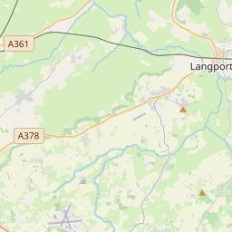

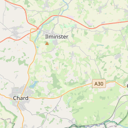
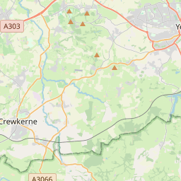
51.0603, -2.8581© OpenStreetMap
Ad slot · 300×250
Places under this code
19| Place | Region | County | Coordinates |
|---|---|---|---|
| Aller | England | Somerset | 51.0603, -2.8581 |
| Bramwell | England | Somerset | 51.0378, -2.8161 |
| Curry Rivel | England | Somerset | 51.0231, -2.8675 |
| Drayton | England | Somerset | 51.0192, -2.8519 |
| Hambridge | England | Somerset | 51.0378, -2.8161 |
| Henley | England | Somerset | 51.0378, -2.8161 |
| Henley Corner | England | Somerset | 51.0378, -2.8161 |
| High Ham | England | Somerset | 51.0758, -2.8208 |
| Huish Episcopi | England | Somerset | 51.0378, -2.8161 |
| Langport | England | Somerset | 51.0378, -2.8281 |
| Long Load | England | Somerset | 51.0058, -2.7628 |
| Long Sutton | England | Somerset | 51.0244, -2.7583 |
| Low Ham | England | Somerset | 51.0614, -2.81 |
| Muchelney | England | Somerset | 51.0186, -2.8136 |
| Pibsbury | England | Somerset | 51.0378, -2.8161 |
| Pitney | England | Somerset | 51.052, -2.7903 |
| Thorney | England | Somerset | 51.0378, -2.8161 |
| Wearne | England | Somerset | 51.0378, -2.8161 |
| Westport | England | Somerset | 51.0378, -2.8161 |
Same code in other countries
0This code only appears in this country.
FAQ
Which city is TA10 in?
Aller, England, United Kingdom.
What are the coordinates of TA10?
51.0603, -2.8581
Is TA10 used in other countries?
No.
Updated 2026-11-09. Attribution in Data & license.