SY7 postal code
United KingdomUpdated 2026-11-09Abdon, EnglandShropshireOutcode
Postal code details
50 placesCode
SY7
Place
Abdon
Region
England
County
Shropshire
Coordinates
52.4806, -2.6535
Accuracy
4 / 6
Country
United Kingdom
Location
OpenStreetMap ↗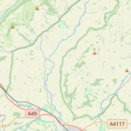
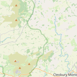
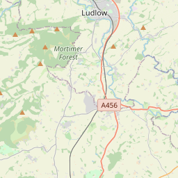

52.4806, -2.6535© OpenStreetMap
Ad slot · 300×250
Places under this code
50| Place | Region | County | Coordinates |
|---|---|---|---|
| Abdon | England | Shropshire | 52.4806, -2.6535 |
| Adforton | England | Herefordshire | 52.3342, -2.8794 |
| Anchor | England | Shropshire | 52.4258, -2.8872 |
| Asterton | England | Shropshire | 52.451, -2.7599 |
| Aston Munslow | England | Shropshire | 52.451, -2.7599 |
| Aston on Clun | England | Shropshire | 52.451, -2.7599 |
| Bedstone | England | Shropshire | 52.3748, -2.9273 |
| Bettws-y-crwyn | England | Shropshire | 52.4333, -3.1667 |
| Bicton | England | Shropshire | 52.4258, -2.8872 |
| Birtley | England | Shropshire | 52.451, -2.7599 |
| Bouldon | England | Shropshire | 52.451, -2.7599 |
| Brampton Bryan | England | Herefordshire | 52.3415, -2.9292 |
| Broadstone | England | Shropshire | 52.451, -2.7599 |
| Brockton | England | Shropshire | 52.4258, -2.8872 |
| Broome | England | Shropshire | 52.4167, -2.8833 |
| Bucknell | England | Shropshire | 52.3667, -2.95 |
| Buckton | England | Shropshire | 52.451, -2.7599 |
| Chapel Lawn | England | Shropshire | 52.451, -2.7599 |
| Cheney Longville | England | Shropshire | 52.451, -2.7599 |
| Clee St Margaret | England | Shropshire | 52.45, -2.65 |
| Clun | England | Shropshire | 52.4214, -3.0275 |
| Clunbury | England | Shropshire | 52.4187, -2.9255 |
| Clungunford | England | Shropshire | 52.4039, -2.8848 |
| Clunton | England | Shropshire | 52.426, -2.9798 |
| Corfton | England | Shropshire | 52.451, -2.7599 |
| Craven Arms | England | Shropshire | 52.4431, -2.8356 |
| Diddlebury | England | Shropshire | 52.4658, -2.7325 |
| Edgton | England | Shropshire | 52.4669, -2.9038 |
| Eyton | England | Shropshire | 52.4258, -2.8872 |
| Halford | England | Shropshire | 52.4467, -2.8256 |
| Hall of the Forest | England | Shropshire | 52.451, -2.7599 |
| Hobarris | England | Shropshire | 52.451, -2.7599 |
| Hopesay | England | Shropshire | 52.4454, -2.8982 |
| Hopton Castle | England | Shropshire | 52.3902, -2.9459 |
| Hoptonheath | England | Shropshire | 52.3833, -2.9167 |
| Horderley | England | Shropshire | 52.4764, -2.8704 |
| Kempton | England | Shropshire | 52.451, -2.7599 |
| Kinton | England | Shropshire | 52.4258, -2.8872 |
| Leintwardine | England | Herefordshire | 52.362, -2.8763 |
| Letton | England | Shropshire | 52.4258, -2.8872 |
| Lingen | England | Herefordshire | 52.3, -2.9333 |
| Little Brampton | England | Shropshire | 52.451, -2.7599 |
| Llwyn | England | Shropshire | 52.451, -2.7599 |
| Lower Dinchope | England | Shropshire | 52.451, -2.7599 |
| Lower Down | England | Shropshire | 52.451, -2.7599 |
| Lydbury North | England | Shropshire | 52.4676, -2.957 |
| Middlehope | England | Shropshire | 52.451, -2.7599 |
| Munslow | England | Shropshire | 52.4849, -2.7057 |
| Myndtown | England | Shropshire | 52.5109, -2.8973 |
| New Invention | England | Shropshire | 52.451, -2.7599 |
Same code in other countries
0This code only appears in this country.
FAQ
Which city is SY7 in?
Abdon, England, United Kingdom.
What are the coordinates of SY7?
52.4806, -2.6535
Is SY7 used in other countries?
No.
Updated 2026-11-09. Attribution in Data & license.