SP6 postal code
United KingdomUpdated 2026-11-09Alderholt, EnglandDorsetOutcode
Postal code details
25 placesCode
SP6
Place
Alderholt
Region
England
County
Dorset
Coordinates
50.9167, -1.8333
Accuracy
4 / 6
Country
United Kingdom
Location
OpenStreetMap ↗
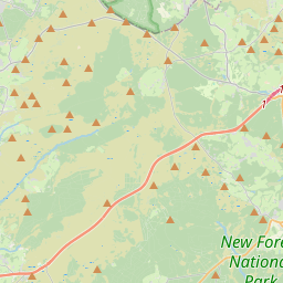
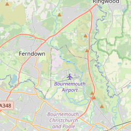
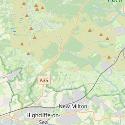
50.9167, -1.8333© OpenStreetMap
Ad slot · 300×250
Places under this code
25| Place | Region | County | Coordinates |
|---|---|---|---|
| Alderholt | England | Dorset | 50.9167, -1.8333 |
| Ashford | England | Hampshire | 50.9364, -1.8019 |
| Bickton | England | Hampshire | 50.9364, -1.8019 |
| Blissford | England | Hampshire | 50.9364, -1.8019 |
| Breamore | England | Hampshire | 50.9608, -1.7758 |
| Daggons | England | Dorset | 50.9122, -1.8584 |
| Damerham | England | Hampshire | 50.9451, -1.8502 |
| Fordingbridge | England | Hampshire | 50.9275, -1.7903 |
| Frogham | England | Hampshire | 50.9364, -1.8019 |
| Godshill | England | Hampshire | 50.9167, -1.75 |
| Hale | England | Hampshire | 50.95, -1.7333 |
| Hungerford | England | Hampshire | 50.9364, -1.8019 |
| Lower Burgate | England | Hampshire | 50.9364, -1.8019 |
| Martin | England | Hampshire | 50.9744, -1.9034 |
| Martin Drove End | England | Hampshire | 50.9364, -1.8019 |
| North Gorley | England | Hampshire | 50.9364, -1.8019 |
| Rockbourne | England | Hampshire | 50.9612, -1.8381 |
| Sandleheath | England | Hampshire | 50.9331, -1.821 |
| South Gorley | England | Hampshire | 50.9364, -1.8019 |
| Stuckton | England | Hampshire | 50.9217, -1.7732 |
| Tidpit | England | Hampshire | 50.9364, -1.8019 |
| Upper Burgate | England | Hampshire | 50.9364, -1.8019 |
| Upper Street | England | Hampshire | 50.9364, -1.8019 |
| Whitsbury | England | Hampshire | 50.9712, -1.8196 |
| Woodgreen | England | Hampshire | 50.9515, -1.7475 |
Same code in other countries
0This code only appears in this country.
FAQ
Which city is SP6 in?
Alderholt, England, United Kingdom.
What are the coordinates of SP6?
50.9167, -1.8333
Is SP6 used in other countries?
No.
Updated 2026-11-09. Attribution in Data & license.