SG11 postal code
United KingdomUpdated 2026-11-09Albury, EnglandHertfordshireOutcode
Postal code details
13 placesCode
SG11
Place
Albury
Region
England
County
Hertfordshire
Coordinates
51.9018, 0.0803
Accuracy
4 / 6
Country
United Kingdom
Location
OpenStreetMap ↗

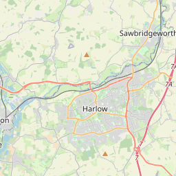

51.9018, 0.0803© OpenStreetMap
Ad slot · 300×250
Places under this code
13| Place | Region | County | Coordinates |
|---|---|---|---|
| Albury | England | Hertfordshire | 51.9018, 0.0803 |
| Braughing | England | Hertfordshire | 51.9068, 0.0279 |
| Bury Green | England | Hertfordshire | 51.894, 0.0461 |
| Collier's End | England | Hertfordshire | 51.894, 0.0461 |
| Hadham Ford | England | Hertfordshire | 51.894, 0.0461 |
| Haultwick | England | Hertfordshire | 51.894, 0.0461 |
| Hay Street | England | Hertfordshire | 51.894, 0.0461 |
| High Cross | England | Hertfordshire | 51.894, 0.0461 |
| Little Hadham | England | Hertfordshire | 51.8844, 0.0905 |
| Nasty | England | Hertfordshire | 51.894, 0.0461 |
| Patmore Heath | England | Hertfordshire | 51.894, 0.0461 |
| Puckeridge | England | Hertfordshire | 51.8912, 0.013 |
| Standon | England | Hertfordshire | 51.8856, 0.0189 |
Same code in other countries
0This code only appears in this country.
FAQ
Which city is SG11 in?
Albury, England, United Kingdom.
What are the coordinates of SG11?
51.9018, 0.0803
Is SG11 used in other countries?
No.
Updated 2026-11-09. Attribution in Data & license.