RG20 postal code
United KingdomUpdated 2026-11-09Ashmansworth, EnglandHampshireOutcode
Postal code details
45 placesCode
RG20
Place
Ashmansworth
Region
England
County
Hampshire
Coordinates
51.3151, -1.4059
Accuracy
4 / 6
Country
United Kingdom
Location
OpenStreetMap ↗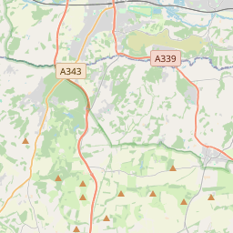
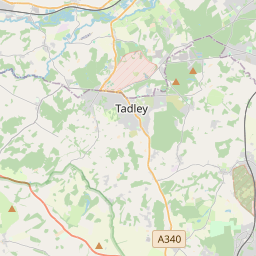
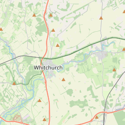

51.3151, -1.4059© OpenStreetMap
Ad slot · 300×250
Places under this code
45| Place | Region | County | Coordinates |
|---|---|---|---|
| Ashmansworth | England | Hampshire | 51.3151, -1.4059 |
| Bagnor | England | Berkshire | 51.4217, -1.3505 |
| Ball Hill | England | Berkshire | 51.403, -1.3375 |
| Beedon | England | Berkshire | 51.4944, -1.297 |
| Boxford | England | Berkshire | 51.4416, -1.3841 |
| Brightwalton | England | Berkshire | 51.5107, -1.3877 |
| Broad Laying | England | Berkshire | 51.403, -1.3375 |
| Burgh-clere | England | Berkshire | 51.403, -1.3375 |
| Catmore | England | Berkshire | 51.5171, -1.3574 |
| Chaddleworth | England | Berkshire | 51.4939, -1.4038 |
| Chieveley | England | Berkshire | 51.4616, -1.3161 |
| Combe | England | Berkshire | 51.403, -1.3375 |
| Compton | England | Berkshire | 51.5158, -1.2551 |
| Crux Easton | England | Berkshire | 51.403, -1.3375 |
| Downend | England | Berkshire | 51.403, -1.3375 |
| East End | England | Berkshire | 51.403, -1.3375 |
| East Ilsley | England | Berkshire | 51.5273, -1.2909 |
| East Woodhay | England | Hampshire | 51.35, -1.4167 |
| Ecchinswell | England | Hampshire | 51.3336, -1.284 |
| Enborne | England | Berkshire | 51.391, -1.3722 |
| Halfway | England | Berkshire | 51.403, -1.3375 |
| Hamstead Marshall | England | Berkshire | 51.3867, -1.4075 |
| Highclere | England | Hampshire | 51.3386, -1.3757 |
| Kingsclere | England | Hampshire | 51.3249, -1.2434 |
| Leckhampstead | England | Berkshire | 51.4851, -1.3682 |
| Lilley | England | Berkshire | 51.403, -1.3375 |
| Newtown | England | Hampshire | 51.3706, -1.3181 |
| North End | England | Berkshire | 51.403, -1.3375 |
| Old Burghclere | England | Berkshire | 51.403, -1.3375 |
| Peasemore | England | Berkshire | 51.4934, -1.3421 |
| Stanmore | England | Berkshire | 51.403, -1.3375 |
| Stockcross | England | Berkshire | 51.4143, -1.3758 |
| Sydmonton | England | Berkshire | 51.403, -1.3375 |
| Upper Green | England | Berkshire | 51.403, -1.3375 |
| Welford | England | Berkshire | 51.4573, -1.4113 |
| West Ilsley | England | Berkshire | 51.5273, -1.2909 |
| West Woodhay | England | Berkshire | 51.3646, -1.4381 |
| Westbrook | England | Berkshire | 51.403, -1.3375 |
| Weston | England | Berkshire | 51.403, -1.3375 |
| Whitway | England | Berkshire | 51.403, -1.3375 |
| Wickham | England | Berkshire | 51.4434, -1.432 |
| Wickham Heath | England | Berkshire | 51.403, -1.3375 |
| Winterbourne | England | Berkshire | 51.4461, -1.3466 |
| Woolton Hill | England | Berkshire | 51.403, -1.3375 |
| World's End | England | Berkshire | 51.403, -1.3375 |
Same code in other countries
0This code only appears in this country.
FAQ
Which city is RG20 in?
Ashmansworth, England, United Kingdom.
What are the coordinates of RG20?
51.3151, -1.4059
Is RG20 used in other countries?
No.
Updated 2026-11-09. Attribution in Data & license.