PE6 postal code
United KingdomUpdated 2026-11-09Baston, EnglandLincolnshireOutcode
Postal code details
19 placesCode
PE6
Place
Baston
Region
England
County
Lincolnshire
Coordinates
52.7131, -0.3517
Accuracy
4 / 6
Country
United Kingdom
Location
OpenStreetMap ↗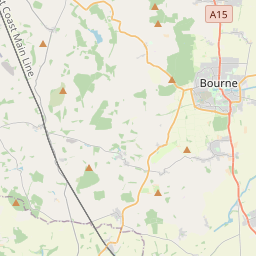
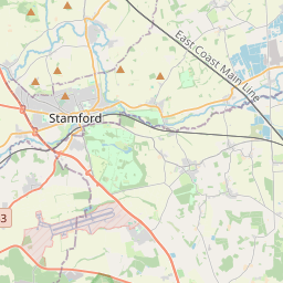
52.7131, -0.3517© OpenStreetMap
Ad slot · 300×250
Places under this code
19| Place | Region | County | Coordinates |
|---|---|---|---|
| Baston | England | Lincolnshire | 52.7131, -0.3517 |
| Crowland | England | Lincolnshire | 52.6757, -0.1685 |
| Deeping Gate | England | Cambridgeshire | 52.6679, -0.3021 |
| Deeping St James | England | Lincolnshire | 52.6717, -0.2891 |
| Etton | England | Cambridgeshire | 52.6347, -0.3185 |
| Eye | England | Cambridgeshire | 52.608, -0.1921 |
| Eye Green | England | Lincolnshire | 52.734, -0.2908 |
| Glinton | England | Cambridgeshire | 52.6392, -0.2963 |
| Helpston | England | Cambridgeshire | 52.6323, -0.3468 |
| Langtoft | England | Lincolnshire | 52.6983, -0.3404 |
| Marholm | England | Cambridgeshire | 52.6047, -0.3082 |
| Market Deeping | England | Lincolnshire | 52.6765, -0.3163 |
| Maxey | England | Cambridgeshire | 52.6584, -0.334 |
| Newborough | England | Cambridgeshire | 52.6389, -0.2233 |
| North Side | England | Lincolnshire | 52.734, -0.2908 |
| Northborough | England | Cambridgeshire | 52.6587, -0.2982 |
| Peakirk | England | Cambridgeshire | 52.6457, -0.2729 |
| Thorney | England | Cambridgeshire | 52.6215, -0.1081 |
| West Deeping | England | Lincolnshire | 52.6669, -0.3576 |
Same code in other countries
0This code only appears in this country.
FAQ
Which city is PE6 in?
Baston, England, United Kingdom.
What are the coordinates of PE6?
52.7131, -0.3517
Is PE6 used in other countries?
No.
Updated 2026-11-09. Attribution in Data & license.