PE12 postal code
United KingdomUpdated 2026-11-09Aswick Grange, EnglandLincolnshireOutcode
Postal code details
38 placesCode
PE12
Place
Aswick Grange
Region
England
County
Lincolnshire
Coordinates
52.6947, -0.0255
Accuracy
3 / 6
Country
United Kingdom
Location
OpenStreetMap ↗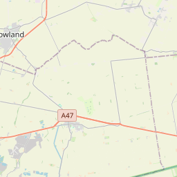
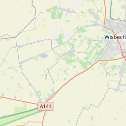
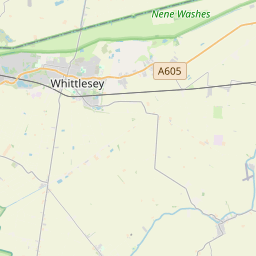
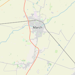
52.6947, -0.0255© OpenStreetMap
Ad slot · 300×250
Places under this code
38| Place | Region | County | Coordinates |
|---|---|---|---|
| Aswick Grange | England | Lincolnshire | 52.6947, -0.0255 |
| Chapelgate | England | Lincolnshire | 52.6947, -0.0255 |
| Cowbit | England | Lincolnshire | 52.7452, -0.1298 |
| Dawsmere | England | Lincolnshire | 52.6947, -0.0255 |
| Fleet | England | Lincolnshire | 52.7932, 0.0585 |
| Fleet Hargate | England | Lincolnshire | 52.6947, -0.0255 |
| Gedney | England | Lincolnshire | 52.7977, 0.0791 |
| Gedney Broadgate | England | Lincolnshire | 52.6947, -0.0255 |
| Gedney Drove End | England | Lincolnshire | 52.6947, -0.0255 |
| Gedney Dyke | England | Lincolnshire | 52.6947, -0.0255 |
| Gedney Hill | England | Lincolnshire | 52.6843, -0.0201 |
| Guy's Head | England | Lincolnshire | 52.6947, -0.0255 |
| Holbeach | England | Lincolnshire | 52.804, 0.0144 |
| Holbeach Bank | England | Lincolnshire | 52.6947, -0.0255 |
| Holbeach Clough | England | Lincolnshire | 52.8248, -0.0113 |
| Holbeach Drove | England | Lincolnshire | 52.6947, -0.0255 |
| Holbeach Hurn | England | Lincolnshire | 52.6947, -0.0255 |
| Holbeach St Johns | England | Lincolnshire | 52.6947, -0.0255 |
| Holbeach St Marks | England | Lincolnshire | 52.6947, -0.0255 |
| Holbeach St Matthew | England | Lincolnshire | 52.6947, -0.0255 |
| Little London | England | Lincolnshire | 52.6947, -0.0255 |
| Long Sutton | England | Lincolnshire | 52.7865, 0.119 |
| Loosegate | England | Lincolnshire | 52.6947, -0.0255 |
| Lutton | England | Lincolnshire | 52.8053, 0.1323 |
| Moulton | England | Lincolnshire | 52.7991, -0.0637 |
| Moulton Chapel | England | Lincolnshire | 52.7467, -0.0827 |
| Moulton Seas End | England | Lincolnshire | 52.6947, -0.0255 |
| Saracen's Head | England | Lincolnshire | 52.6947, -0.0255 |
| Shepeau Stow | England | Lincolnshire | 52.6947, -0.0255 |
| Sutton Bridge | England | Lincolnshire | 52.77, 0.1855 |
| Sutton Crosses | England | Lincolnshire | 52.6947, -0.0255 |
| Sutton St Edmund | England | Lincolnshire | 52.6947, -0.0255 |
| Sutton St James | England | Lincolnshire | 52.7442, 0.0647 |
| Weston | England | Lincolnshire | 52.791, -0.0952 |
| Weston Hills | England | Lincolnshire | 52.6947, -0.0255 |
| Whaplode | England | Lincolnshire | 52.7993, -0.0364 |
| Whaplode Drove | England | Lincolnshire | 52.6947, -0.0255 |
| Whaplode St Catherine | England | Lincolnshire | 52.6947, -0.0255 |
Same code in other countries
0This code only appears in this country.
FAQ
Which city is PE12 in?
Aswick Grange, England, United Kingdom.
What are the coordinates of PE12?
52.6947, -0.0255
Is PE12 used in other countries?
No.
Updated 2026-11-09. Attribution in Data & license.