NG23 postal code
United KingdomUpdated 2026-11-09Averham, EnglandNottinghamshireOutcode
Postal code details
47 placesCode
NG23
Place
Averham
Region
England
County
Nottinghamshire
Coordinates
53.0843, -0.8662
Accuracy
3 / 6
Country
United Kingdom
Location
OpenStreetMap ↗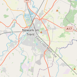
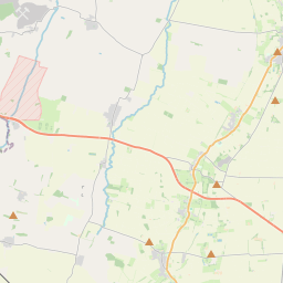
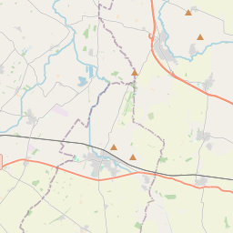
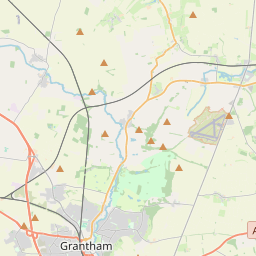
53.0843, -0.8662© OpenStreetMap
Ad slot · 300×250
Places under this code
47| Place | Region | County | Coordinates |
|---|---|---|---|
| Averham | England | Nottinghamshire | 53.0843, -0.8662 |
| Bathley | England | Nottinghamshire | 53.1231, -0.836 |
| Besthorpe | England | Nottinghamshire | 53.1667, -0.7667 |
| Brough | England | Nottinghamshire | 53.1163, -0.8005 |
| Carlton-on-Trent | England | Nottinghamshire | 53.1652, -0.8069 |
| Caunton | England | Nottinghamshire | 53.1331, -0.8868 |
| Claypole | England | Lincolnshire | 53.0314, -0.7341 |
| Collingham | England | Nottinghamshire | 53.15, -0.75 |
| Cotham | England | Nottinghamshire | 53.0167, -0.8167 |
| Cromwell | England | Nottinghamshire | 53.1463, -0.8076 |
| Dry Doddington | England | Lincolnshire | 53.0885, -0.7097 |
| East Stoke | England | Nottinghamshire | 53.0333, -0.8833 |
| Elston | England | Nottinghamshire | 53.0167, -0.8667 |
| Fenton | England | Lincolnshire | 53.0333, -0.6833 |
| Flintham | England | Nottinghamshire | 53.0063, -0.8981 |
| Girton | England | Nottinghamshire | 53.1909, -0.7617 |
| Grassthorpe | England | Nottinghamshire | 53.2012, -0.8092 |
| Harby | England | Nottinghamshire | 53.2306, -0.6836 |
| Holme | England | Nottinghamshire | 53.1167, -0.8 |
| Kelham | England | Nottinghamshire | 53.093, -0.8459 |
| Langford | England | Nottinghamshire | 53.1169, -0.7729 |
| Little Carlton | England | Nottinghamshire | 53.1163, -0.8005 |
| Long Bennington | England | Lincolnshire | 52.9931, -0.758 |
| Moorhouse | England | Lincolnshire | 53.0885, -0.7097 |
| Normanton on Trent | England | Nottinghamshire | 53.2126, -0.8171 |
| North Clifton | England | Nottinghamshire | 53.2399, -0.7666 |
| North Muskham | England | Nottinghamshire | 53.1199, -0.8109 |
| Norwell | England | Nottinghamshire | 53.148, -0.8459 |
| Norwell Woodhouse | England | Lincolnshire | 53.0885, -0.7097 |
| Ossington | England | Nottinghamshire | 53.174, -0.8686 |
| Rolleston | England | Nottinghamshire | 53.0642, -0.8914 |
| Shelton | England | Nottinghamshire | 52.9833, -0.8333 |
| Sibthorpe | England | Nottinghamshire | 53.0012, -0.8641 |
| South Clifton | England | Nottinghamshire | 53.2222, -0.7696 |
| South Muskham | England | Nottinghamshire | 53.1069, -0.8212 |
| South Scarle | England | Nottinghamshire | 53.1666, -0.7361 |
| Spalford | England | Nottinghamshire | 53.2129, -0.7476 |
| Staythorpe | England | Nottinghamshire | 53.0769, -0.8757 |
| Stubton | England | Lincolnshire | 53.03, -0.6999 |
| Sutton on Trent | England | Nottinghamshire | 53.1844, -0.8109 |
| Syerston | England | Nottinghamshire | 53.0209, -0.8926 |
| Thorney | England | Nottinghamshire | 53.2333, -0.7167 |
| Thorpe | England | Nottinghamshire | 53.0409, -0.8559 |
| Upton | England | Nottinghamshire | 53.0667, -0.9 |
| Westborough | England | Lincolnshire | 53.0885, -0.7097 |
| Weston | England | Nottinghamshire | 53.2, -0.85 |
| Wigsley | England | Nottinghamshire | 53.2216, -0.7128 |
Same code in other countries
0This code only appears in this country.
FAQ
Which city is NG23 in?
Averham, England, United Kingdom.
What are the coordinates of NG23?
53.0843, -0.8662
Is NG23 used in other countries?
No.
Updated 2026-11-09. Attribution in Data & license.