MK16 postal code
United KingdomUpdated 2026-11-09Astwood, EnglandBuckinghamshireOutcode
Postal code details
13 placesCode
MK16
Place
Astwood
Region
England
County
Buckinghamshire
Coordinates
52.0894, -0.7219
Accuracy
4 / 6
Country
United Kingdom
Location
OpenStreetMap ↗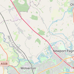
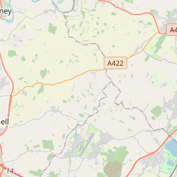


52.0894, -0.7219© OpenStreetMap
Ad slot · 300×250
Places under this code
13| Place | Region | County | Coordinates |
|---|---|---|---|
| Astwood | England | Buckinghamshire | 52.0894, -0.7219 |
| Broughton | England | Buckinghamshire | 52.0494, -0.6907 |
| Chicheley | England | Buckinghamshire | 52.103, -0.6865 |
| Filgrave | England | Buckinghamshire | 52.127, -0.7286 |
| Gayhurst | England | Buckinghamshire | 52.1136, -0.7628 |
| Hardmead | England | Buckinghamshire | 52.1191, -0.631 |
| Lathbury | England | Buckinghamshire | 52.0988, -0.7213 |
| Moulsoe | England | Buckinghamshire | 52.0688, -0.6733 |
| Newport Pagnell | England | Buckinghamshire | 52.0873, -0.7222 |
| North Crawley | England | Buckinghamshire | 52.093, -0.6486 |
| Sherington | England | Buckinghamshire | 52.1117, -0.6997 |
| Stoke Goldington | England | Buckinghamshire | 52.1313, -0.7781 |
| Tyringham | England | Buckinghamshire | 52.1139, -0.7456 |
Same code in other countries
0This code only appears in this country.
FAQ
Which city is MK16 in?
Astwood, England, United Kingdom.
What are the coordinates of MK16?
52.0894, -0.7219
Is MK16 used in other countries?
No.
Updated 2026-11-09. Attribution in Data & license.