LL40 postal code
United KingdomUpdated 2026-11-09Abergwynant, WalesGwyneddOutcode
Postal code details
16 placesCode
LL40
Place
Abergwynant
Region
Wales
County
Gwynedd
Coordinates
52.7991, -3.9134
Accuracy
3 / 6
Country
United Kingdom
Location
OpenStreetMap ↗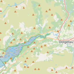
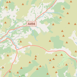
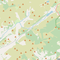
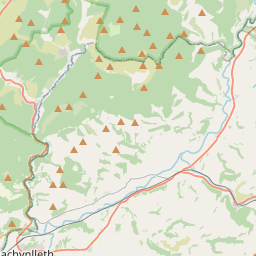
52.7991, -3.9134© OpenStreetMap
Ad slot · 300×250
Places under this code
16| Place | Region | County | Coordinates |
|---|---|---|---|
| Abergwynant | Wales | Gwynedd | 52.7991, -3.9134 |
| Bont Newydd | Wales | Gwynedd | 52.7991, -3.9134 |
| Bontddu | Wales | Gwynedd | 52.7991, -3.9134 |
| Brithdir | Wales | Gwynedd | 52.7853, -3.8513 |
| Dolgellau | Wales | Gwynedd | 52.7422, -3.8861 |
| Ganllwyd | Wales | Gwynedd | 52.7991, -3.9134 |
| Llanelltyd | Wales | Gwynedd | 52.7572, -3.9027 |
| Llanfachreth | Wales | Gwynedd | 52.7853, -3.8513 |
| Minffordd | Wales | Gwynedd | 52.7564, -3.8751 |
| Nannau | Wales | Gwynedd | 52.7991, -3.9134 |
| Pant Gwyn | Wales | Gwynedd | 52.7991, -3.9134 |
| Pen-y-bryn | Wales | Gwynedd | 52.7991, -3.9134 |
| Penmaenpool | Wales | Gwynedd | 52.7991, -3.9134 |
| Pont Rhyd-sarn | Wales | Gwynedd | 52.7991, -3.9134 |
| Rhydymain | Wales | Gwynedd | 52.7991, -3.9134 |
| Wenallt | Wales | Gwynedd | 52.7991, -3.9134 |
Same code in other countries
0This code only appears in this country.
FAQ
Which city is LL40 in?
Abergwynant, Wales, United Kingdom.
What are the coordinates of LL40?
52.7991, -3.9134
Is LL40 used in other countries?
No.
Updated 2026-11-09. Attribution in Data & license.