LL23 postal code
United KingdomUpdated 2026-11-09Bala, WalesGwyneddOutcode
Postal code details
20 placesCode
LL23
Place
Bala
Region
Wales
County
Gwynedd
Coordinates
52.9111, -3.5972
Accuracy
4 / 6
Country
United Kingdom
Location
OpenStreetMap ↗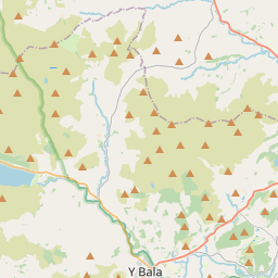
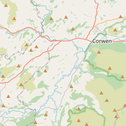
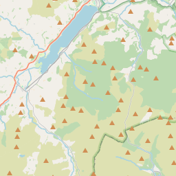
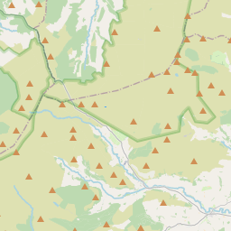
52.9111, -3.5972© OpenStreetMap
Ad slot · 300×250
Places under this code
20| Place | Region | County | Coordinates |
|---|---|---|---|
| Bala | Wales | Gwynedd | 52.9111, -3.5972 |
| Cefn-ddwysarn | Wales | Gwynedd | 52.9055, -3.6018 |
| Ciltalgarth | Wales | Gwynedd | 52.9055, -3.6018 |
| Fron-goch | Wales | Gwynedd | 52.9055, -3.6018 |
| Glan-yr-afon | Wales | Gwynedd | 52.9055, -3.6018 |
| Llandderfel | Wales | Gwynedd | 52.9213, -3.5156 |
| Llanfor | Wales | Gwynedd | 52.9169, -3.581 |
| Llangywer | Wales | Gwynedd | 52.8764, -3.6294 |
| Llanuwchllyn | Wales | Gwynedd | 52.8547, -3.6679 |
| Llanycil | Wales | Gwynedd | 52.9008, -3.6159 |
| Llidiardau | Wales | Gwynedd | 52.9055, -3.6018 |
| Pale | Wales | Gwynedd | 52.9121, -3.5138 |
| Parc | Wales | Gwynedd | 52.9055, -3.6018 |
| Pentre-piod | Wales | Gwynedd | 52.9055, -3.6018 |
| Rhiwlas | Wales | Gwynedd | 52.9055, -3.6018 |
| Rhos-y-gwaliau | Wales | Gwynedd | 52.9055, -3.6018 |
| Rhyd-uchaf | Wales | Gwynedd | 52.9055, -3.6018 |
| Sarnau | Wales | Gwynedd | 52.9055, -3.6018 |
| Talardd | Wales | Gwynedd | 52.9055, -3.6018 |
| Ty-nant | Wales | Gwynedd | 52.9055, -3.6018 |
Same code in other countries
0This code only appears in this country.
FAQ
Which city is LL23 in?
Bala, Wales, United Kingdom.
What are the coordinates of LL23?
52.9111, -3.5972
Is LL23 used in other countries?
No.
Updated 2026-11-09. Attribution in Data & license.