LL16 postal code
United KingdomUpdated 2026-11-09Bodfari, WalesDenbighshireOutcode
Postal code details
23 placesCode
LL16
Place
Bodfari
Region
Wales
County
Denbighshire
Coordinates
53.2199, -3.3609
Accuracy
4 / 6
Country
United Kingdom
Location
OpenStreetMap ↗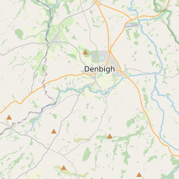
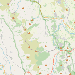
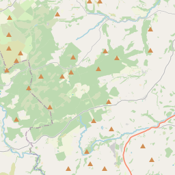
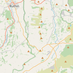
53.2199, -3.3609© OpenStreetMap
Ad slot · 300×250
Places under this code
23| Place | Region | County | Coordinates |
|---|---|---|---|
| Bodfari | Wales | Denbighshire | 53.2199, -3.3609 |
| Bylchau | Wales | Conwy | 53.1545, -3.4256 |
| Denbigh | Wales | Denbighshire | 53.1833, -3.4167 |
| Deunant | Wales | Conwy | 53.1545, -3.4256 |
| Ffordd-las | Wales | Denbighshire | 53.1545, -3.4256 |
| Groes | Wales | Conwy | 53.1545, -3.4256 |
| Gwaynynog | Wales | Denbighshire | 53.1667, -3.45 |
| Henllan | Wales | Denbighshire | 53.2, -3.4667 |
| Llandyrnog | Wales | Denbighshire | 53.175, -3.3365 |
| Llangwyfan | Wales | Denbighshire | 53.1545, -3.4256 |
| Llangynhafal | Wales | Denbighshire | 53.162, -3.3039 |
| Llannefydd | Wales | Conwy | 53.2235, -3.5273 |
| Llanrhaeadr | Wales | Denbighshire | 53.1852, -3.4335 |
| Llansannan | Wales | Conwy | 53.179, -3.596 |
| Llanynys | Wales | Denbighshire | 53.1545, -3.4256 |
| Nantglyn | Wales | Denbighshire | 53.1482, -3.4883 |
| Pant-pastynog | Wales | Denbighshire | 53.1545, -3.4256 |
| Pentre Llanrhaeadr | Wales | Denbighshire | 53.1545, -3.4256 |
| Pentre Saron | Wales | Denbighshire | 53.1545, -3.4256 |
| Plasisaf | Wales | Conwy | 53.1545, -3.4256 |
| Tan-y-fron | Wales | Conwy | 53.1545, -3.4256 |
| Trefnant | Wales | Denbighshire | 53.2167, -3.4333 |
| Waen | Wales | Denbighshire | 53.1545, -3.4256 |
Same code in other countries
0This code only appears in this country.
FAQ
Which city is LL16 in?
Bodfari, Wales, United Kingdom.
What are the coordinates of LL16?
53.2199, -3.3609
Is LL16 used in other countries?
No.
Updated 2026-11-09. Attribution in Data & license.