LE9 postal code
United KingdomUpdated 2026-11-09Barwell, EnglandLeicestershireOutcode
Postal code details
22 placesCode
LE9
Place
Barwell
Region
England
County
Leicestershire
Coordinates
52.5682, -1.3445
Accuracy
4 / 6
Country
United Kingdom
Location
OpenStreetMap ↗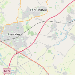
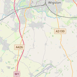
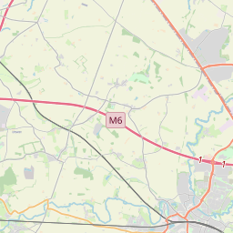
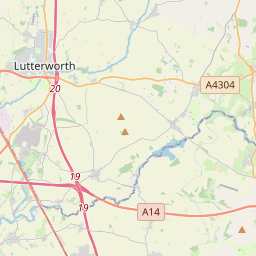
52.5682, -1.3445© OpenStreetMap
Ad slot · 300×250
Places under this code
22| Place | Region | County | Coordinates |
|---|---|---|---|
| Barwell | England | Leicestershire | 52.5682, -1.3445 |
| Botcheston | England | Leicestershire | 52.5739, -1.2819 |
| Broughton Astley | England | Leicestershire | 52.5279, -1.2177 |
| Cosby | England | Leicestershire | 52.5513, -1.1939 |
| Croft | England | Leicestershire | 52.5567, -1.2464 |
| Desford | England | Leicestershire | 52.626, -1.2939 |
| Earl Shilton | England | Leicestershire | 52.5768, -1.3154 |
| Elmesthorpe | England | Leicestershire | 52.5609, -1.3111 |
| Enderby | England | Leicestershire | 52.5878, -1.2062 |
| Huncote | England | Leicestershire | 52.5734, -1.2372 |
| Kirby Muxloe | England | Leicestershire | 52.6302, -1.2276 |
| Kirkby Mallory | England | Leicestershire | 52.6017, -1.3269 |
| Narborough | England | Leicestershire | 52.5667, -1.2 |
| Newbold Verdon | England | Leicestershire | 52.6296, -1.3422 |
| Newtown Unthank | England | Leicestershire | 52.5739, -1.2819 |
| Peckleton | England | Leicestershire | 52.597, -1.3345 |
| Primethorpe | England | Leicestershire | 52.5739, -1.2819 |
| Sapcote | England | Leicestershire | 52.5371, -1.279 |
| Stapleton | England | Leicestershire | 52.5739, -1.2819 |
| Stoney Stanton | England | Leicestershire | 52.5484, -1.2793 |
| Sutton in the Elms | England | Leicestershire | 52.5739, -1.2819 |
| Thurlaston | England | Leicestershire | 52.5887, -1.2622 |
Same code in other countries
0This code only appears in this country.
FAQ
Which city is LE9 in?
Barwell, England, United Kingdom.
What are the coordinates of LE9?
52.5682, -1.3445
Is LE9 used in other countries?
No.
Updated 2026-11-09. Attribution in Data & license.