LE16 postal code
United KingdomUpdated 2026-11-09Arthingworth, EnglandNorthamptonshireOutcode
Postal code details
41 placesCode
LE16
Place
Arthingworth
Region
England
County
Northamptonshire
Coordinates
52.425, -0.8922
Accuracy
4 / 6
Country
United Kingdom
Location
OpenStreetMap ↗

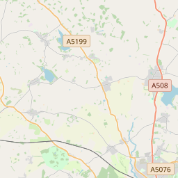
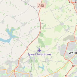
52.425, -0.8922© OpenStreetMap
Ad slot · 300×250
Places under this code
41| Place | Region | County | Coordinates |
|---|---|---|---|
| Arthingworth | England | Northamptonshire | 52.425, -0.8922 |
| Ashley | England | Northamptonshire | 52.5114, -0.832 |
| Blaston | England | Leicestershire | 52.554, -0.8114 |
| Brampton Ash | England | Northamptonshire | 52.4801, -0.8374 |
| Braybrooke | England | Northamptonshire | 52.4522, -0.8738 |
| Bringhurst | England | Leicestershire | 52.5226, -0.7594 |
| Caldecott | England | Northamptonshire | 52.4865, -0.8949 |
| Church Langton | England | Leicestershire | 52.5321, -0.9346 |
| Clipston | England | Northamptonshire | 52.4284, -0.9544 |
| Cottingham | England | Northamptonshire | 52.4833, -0.75 |
| Cranoe | England | Leicestershire | 52.5309, -0.8707 |
| Dingley | England | Northamptonshire | 52.4798, -0.8661 |
| Drayton | England | Leicestershire | 52.5216, -0.7776 |
| East Carlton | England | Northamptonshire | 52.4918, -0.7731 |
| East Farndon | England | Northamptonshire | 52.4626, -0.9423 |
| East Langton | England | Leicestershire | 52.5267, -0.93 |
| Foxton | England | Leicestershire | 52.507, -0.9725 |
| Glooston | England | Leicestershire | 52.5555, -0.8946 |
| Great Bowden | England | Leicestershire | 52.4924, -0.9047 |
| Great Easton | England | Leicestershire | 52.5167, -0.75 |
| Great Oxendon | England | Northamptonshire | 52.4429, -0.9185 |
| Gumley | England | Leicestershire | 52.5054, -1.0005 |
| Hallaton | England | Leicestershire | 52.5611, -0.8369 |
| Horninghold | England | Leicestershire | 52.5662, -0.8108 |
| Little Bowden | England | Leicestershire | 52.5309, -0.8707 |
| Lubenham | England | Leicestershire | 52.4799, -0.9644 |
| Market Harborough | England | Leicestershire | 52.4776, -0.9205 |
| Marston Trussell | England | Northamptonshire | 52.4632, -0.984 |
| Medbourne | England | Leicestershire | 52.5167, -0.8167 |
| Middleton | England | Northamptonshire | 52.5006, -0.764 |
| Nevill Holt | England | Leicestershire | 52.5448, -0.7941 |
| Rockingham | England | Northamptonshire | 52.4865, -0.8949 |
| Sibbertoft | England | Northamptonshire | 52.4373, -0.9994 |
| Slawston | England | Leicestershire | 52.5424, -0.8536 |
| Stoke Albany | England | Northamptonshire | 52.4818, -0.8129 |
| Stonton Wyville | England | Leicestershire | 52.5473, -0.9164 |
| Sutton Bassett | England | Leicestershire | 52.5309, -0.8707 |
| Thorpe Langton | England | Leicestershire | 52.5253, -0.9081 |
| Welham | England | Leicestershire | 52.5309, -0.8707 |
| Weston by Welland | England | Leicestershire | 52.5309, -0.8707 |
| Wilbarston | England | Northamptonshire | 52.4864, -0.8033 |
Same code in other countries
0This code only appears in this country.
FAQ
Which city is LE16 in?
Arthingworth, England, United Kingdom.
What are the coordinates of LE16?
52.425, -0.8922
Is LE16 used in other countries?
No.
Updated 2026-11-09. Attribution in Data & license.