LD7 postal code
United KingdomUpdated 2026-11-09Beguildy, WalesPowysOutcode
Postal code details
17 placesCode
LD7
Place
Beguildy
Region
Wales
County
Powys
Coordinates
52.4091, -3.1841
Accuracy
4 / 6
Country
United Kingdom
Location
OpenStreetMap ↗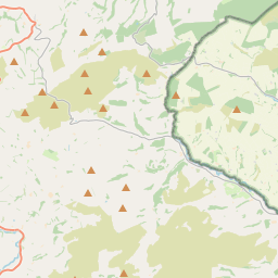
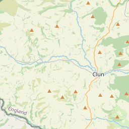
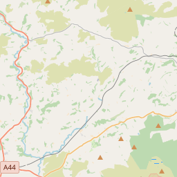
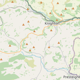
52.4091, -3.1841© OpenStreetMap
Ad slot · 300×250
Places under this code
17| Place | Region | County | Coordinates |
|---|---|---|---|
| Beguildy | Wales | Powys | 52.4091, -3.1841 |
| Bleddfa | Wales | Powys | 52.3074, -3.1644 |
| Dutlas | England | Shropshire | 52.4105, -3.0078 |
| Felindre | Wales | Powys | 52.4167, -3.2333 |
| Five Turnings | England | Shropshire | 52.4105, -3.0078 |
| Knighton | Wales | Powys | 52.35, -3.05 |
| Knucklas | Wales | Powys | 52.3605, -3.0969 |
| Llanfair Waterdine | England | Shropshire | 52.3833, -3.1167 |
| Llangunllo | Wales | Powys | 52.3345, -3.1583 |
| Lloyney | England | Shropshire | 52.4105, -3.0078 |
| Milebrook | England | Shropshire | 52.4105, -3.0078 |
| Panpunton | England | Shropshire | 52.4105, -3.0078 |
| Pilleth | England | Shropshire | 52.4105, -3.0078 |
| Quabbs | England | Shropshire | 52.4105, -3.0078 |
| Rhos-y-Meirch | England | Shropshire | 52.4105, -3.0078 |
| Stowe | England | Shropshire | 52.3522, -3.0334 |
| Whitton | Wales | Powys | 52.3, -3.0667 |
Same code in other countries
0This code only appears in this country.
FAQ
Which city is LD7 in?
Beguildy, Wales, United Kingdom.
What are the coordinates of LD7?
52.4091, -3.1841
Is LD7 used in other countries?
No.
Updated 2026-11-09. Attribution in Data & license.