28200 code postal
MexiqueMis à jour 2026-11-09Manzanillo Centro, ColimaManzanillo5 chiffres
Détails du code
1 lieuCode
28200
Lieu
Manzanillo Centro
Région
Colima
Comté
Manzanillo
Coordonnées
19.1339, -104.5153
Précision
1 / 6
Pays
Mexique
Localisation
OpenStreetMap ↗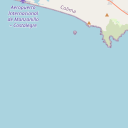
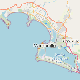
19.1339, -104.5153© OpenStreetMap
Publicité · 300×250
Lieux sous ce code
1| Lieu | Région | Comté | Coordonnées |
|---|---|---|---|
| Manzanillo Centro | Colima | Manzanillo | 19.1339, -104.5153 |
Même code dans d'autres pays
7| Pays | Lieu | Région |
|---|---|---|
| ES Espagne | San Lorenzo De El Escorial | Madrid |
| FI Finlande | Pori | Satakunta |
| FR France | Châteaudun | Centre-Val de Loire |
| KR Corée du Sud | 미원면 | 충청북도 |
| MY Malaisie | Bandar Bera | Pahang |
| PK Pakistan | Sarai Miranshah | Khyber Pakhtunkhwa |
| PL Pologne | Czajków Południowy | Świętokrzyskie |
FAQ
Dans quelle ville se trouve 28200 ?
Manzanillo Centro, Colima, Mexique.
Quelles sont les coordonnées de 28200 ?
19.1339, -104.5153
28200 est-il utilisé dans d'autres pays ?
Oui, dans 7 autres pays.
Mis à jour le 2026-11-09. Attribution dans Données & licence.