DN22 código postal
Reino UnidoActualizado 2026-11-09Babworth, EnglandNottinghamshireOutcode
Detalles del código postal
36 lugaresCódigo
DN22
Lugar
Babworth
Región
England
Condado
Nottinghamshire
Coordenadas
53.318, -0.9758
Precisión
4 / 6
País
Reino Unido
Ubicación
OpenStreetMap ↗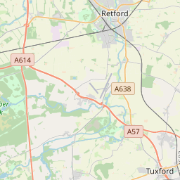
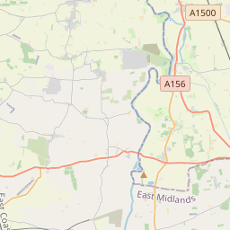
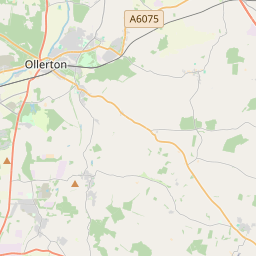
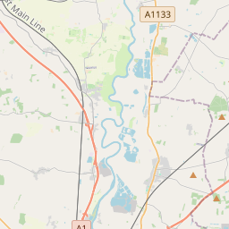
53.318, -0.9758© OpenStreetMap
Espacio publicitario · 300×250
Lugares con este código
36| Lugar | Región | Condado | Coordenadas |
|---|---|---|---|
| Babworth | England | Nottinghamshire | 53.318, -0.9758 |
| Barnby Moor | England | Nottinghamshire | 53.352, -1.0022 |
| Bole | England | Nottinghamshire | 53.3752, -0.8175 |
| Bothamsall | England | Nottinghamshire | 53.2531, -0.9895 |
| Clarborough | England | Nottinghamshire | 53.3455, -0.9038 |
| Clayworth | England | Nottinghamshire | 53.3859, -0.9068 |
| Cottam | England | Nottinghamshire | 53.3, -0.7667 |
| East Drayton | England | Nottinghamshire | 53.269, -0.8378 |
| Eaton | England | Nottinghamshire | 53.2944, -0.9404 |
| Elkesley | England | Nottinghamshire | 53.2728, -0.9708 |
| Gamston | England | Nottinghamshire | 53.2667, -0.9333 |
| Grove | England | Nottinghamshire | 53.3, -0.9 |
| Haughton | England | Nottinghamshire | 53.2457, -0.9837 |
| Hayton | England | Nottinghamshire | 53.35, -0.9 |
| Headon | England | Nottinghamshire | 53.2833, -0.8833 |
| Laneham | England | Nottinghamshire | 53.2767, -0.7966 |
| Littleborough | England | Nottinghamshire | 53.3333, -0.7667 |
| Lound | England | Nottinghamshire | 53.3667, -0.95 |
| N Leverton with Habblesthorpe | England | Nottinghamshire | 53.2894, -0.9379 |
| Nether Headon | England | Nottinghamshire | 53.2894, -0.9379 |
| Ordsall | England | Nottinghamshire | 53.3085, -0.949 |
| Rampton | England | Nottinghamshire | 53.3, -0.8 |
| Ranby | England | Nottinghamshire | 53.3212, -1.0238 |
| Ranskill | England | Nottinghamshire | 53.3828, -1.014 |
| Retford | England | Nottinghamshire | 53.3221, -0.9432 |
| Saundby | England | Nottinghamshire | 53.385, -0.8228 |
| South Leverton | England | Nottinghamshire | 53.3197, -0.8257 |
| Stokeham | England | Nottinghamshire | 53.2832, -0.8256 |
| Sturton le Steeple | England | Nottinghamshire | 53.3497, -0.8205 |
| Sutton | England | Nottinghamshire | 53.3548, -0.9785 |
| Torworth | England | Nottinghamshire | 53.3757, -1.0144 |
| Treswell | England | Nottinghamshire | 53.3042, -0.8252 |
| Upton | England | Nottinghamshire | 53.3239, -0.9286 |
| Welham | England | Nottinghamshire | 53.2894, -0.9379 |
| West Drayton | England | Nottinghamshire | 53.2667, -0.9333 |
| Woodbeck | England | Nottinghamshire | 53.2894, -0.9379 |
Mismo código en otros países
0Este código solo aparece en este país.
FAQ
¿En qué ciudad está DN22?
Babworth, England, Reino Unido.
¿Cuáles son las coordenadas de DN22?
53.318, -0.9758
¿Se usa DN22 en otros países?
No.
Actualizado el 2026-11-09. Atribución en Datos y licencia.